July 29, 2025
HawkEye 360 Launches Advanced GNSS Interference Detection Capabilities to Enhance Defense and Intelligence Operations
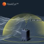
HawkEye 360 Inc., a provider of signals intelligence data and analytics, today announced enhancements to its GNSS Interference (GNSS-I) Detection product suite.
By Inside GNSS