July 31, 2026
ESA HydroGNSS Mission Enters Full Science Phase
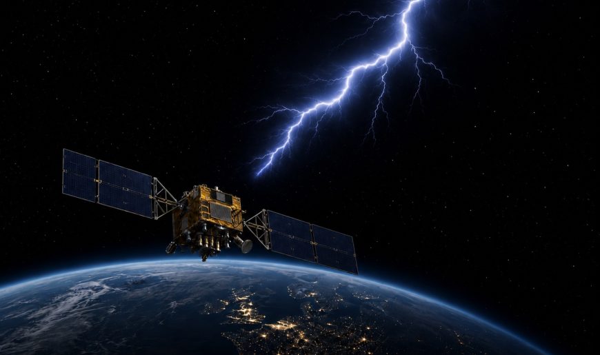
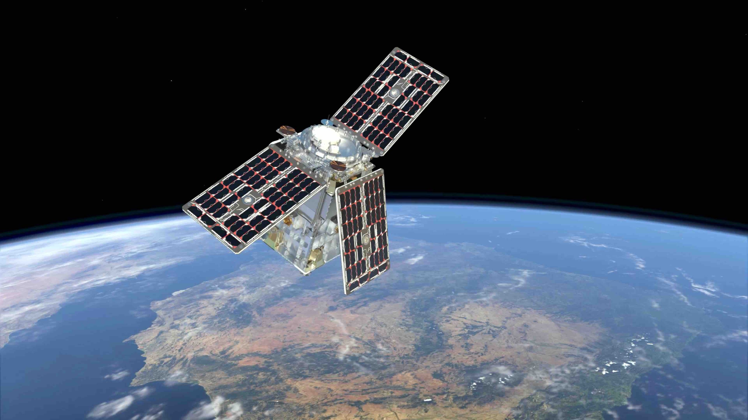
The European Space Agency (ESA) HydroGNSS Scout mission has officially completed its eight-month commissioning phase, now entering full scientific operations. The two-satellite constellation represents a significant leap forward in utilizing GNSS reflectometry (GNSS-R) for remote sensing. By leveraging passive bistatic radar principles, the mission captures and analyzes L-band signals originally transmitted by GPS and Galileo navigation satellites.
By Peter Gutierrez