By Renee Knight
When a wireless 911 call comes in from a multi-story building, it can be difficult to pinpoint exactly where the caller is—wasting valuable time. NextNav has developed a solution with z-axis capabilities, Pinnacle 911, that addresses this GPS shortcoming, and recently entered into an agreement with a top wireless carrier to leverage it for enhanced 911 (E911).
The agreement is in response to the FCC’s mandate for mobile carriers to enable z-Axis on wireless 911 calls beginning in April. As part of the mandate, solutions must provide floor-level accuracy of ±3 meters 80% of the time. Pinnacle demonstrated that level of accuracy 94% of the time in an independent evaluation by the Cellular Telecommunications and Internet Association. The evaluation was commissioned by the FCC.
Pinnacle 911 can deliver vertical location to public safety answering points (PSAPs) across the country, enabling first responders to shorten response times and ultimately save more lives. With floor-level altitude measurements, PSAPs can accurately identify the indoor location of wireless E911 callers, instead of having to search through multiple floors.
Pinnacle delivers the vertical location of E911 dialers across more than 4,400 cities in the United States, including 90% of buildings above three stories.
“The entire reason GPS exists on phones is because of 911 calls,” VP of Business Development and Partnerships Dan Hight said. “When people call 911 from a mobile phone it’s important for dispatchers to be able to determine where they are if they’re not able to tell them. That forced the ecosystem to come together to solve location starting in the indoor world and outdoor world, and now vertical access.”
The need for vertical location
Z-axis gives first responders a caller’s altitude/floor level, shortening response times and allowing public safety agencies to better allocate resources, Hight said. Adding the vertical dimension alongside their horizontal location of latitude and longitude enables dispatchers to precisely locate where a caller is, something that isn’t possible with GPS.
“For over two decades, one of public safety’s key needs has been 3D geolocation information–especially floor-level vertical location,” CEO Ganesh Pattabiraman said. “Partnering with one of the nation’s largest wireless carriers to deliver precise, z-axis information will not only improve geolocation information for PSAPs, but save lives by reducing emergency response times by over 80%. This adoption of our Pinnacle technology for 911 marks a historic step forward for communities around the nation, and public safety as a whole.”
The solution
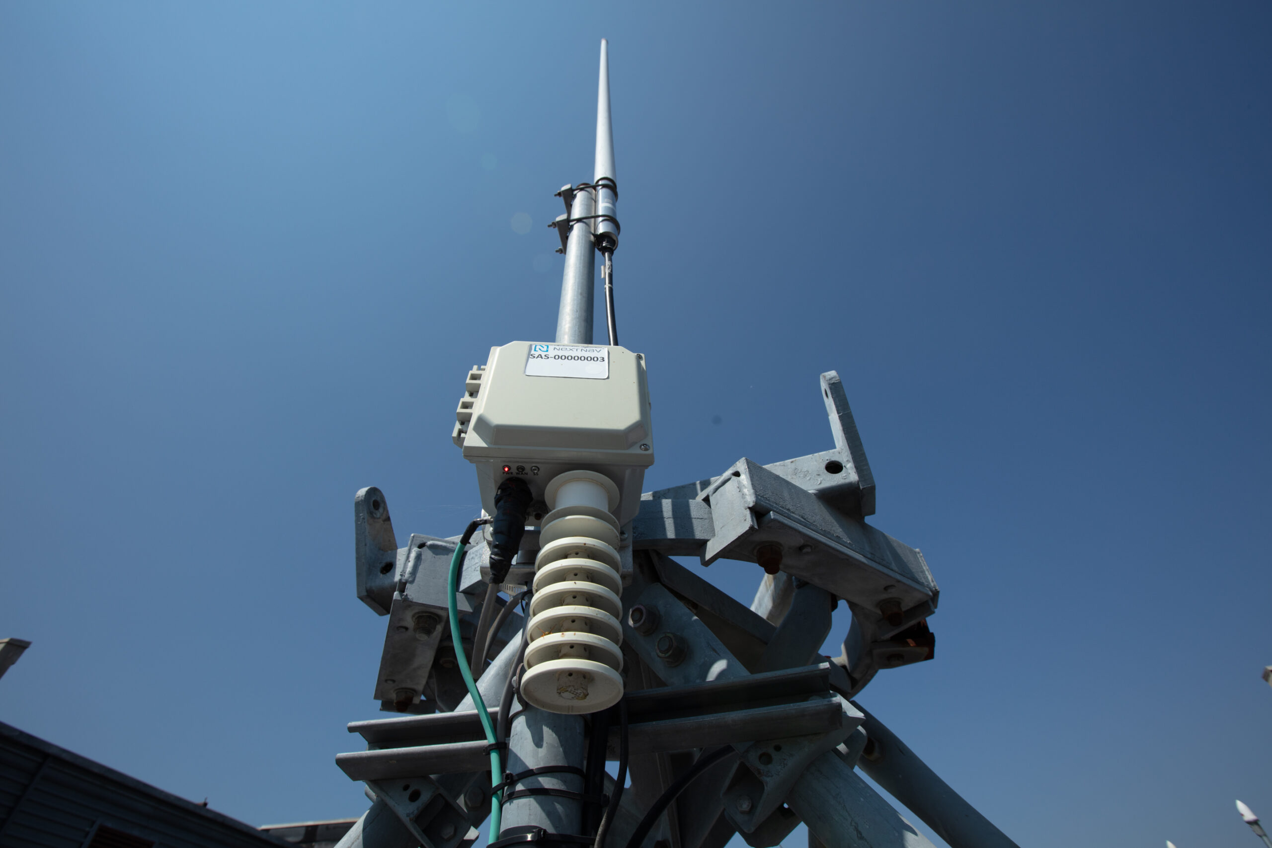
NextNav has created a network of altitude stations propagated throughout the real world that measure locally what is happening to the barometric pressure in the environment, Hight said. By taking the barometric pressure coming from the cell phone and calculating that against the barometric pressure in the physical world, you can calculate the altitude of the device to find where the device, and ultimately the person in distress, is.
Cell phones must have a barometric pressure sensor for Pinnacle to work, and most cell phones developed in recent years do. Pinnacle is designed to work with any operating system.
“There are other ways to do a more accurate solution indoors, but it requires a lot of infrastructure in the building,” Hight said, giving warehouse robots as an example. “For broad based consumer applications, we don’t care about just one venue. We care it works everywhere it matters. We developed a network-based solution that works in every building in the metro areas we cover.”
Other partnerships and uses
This agreement builds on NextNav’s growing presence in public safety.
FirstNet, Built with AT&T, for example, recently selected Pinnacle to provide accurate altitude capabilities for first responders. FirstNet is a widely used situational awareness platform for emergency operations. Having access to vertical location helps first responders safely and efficiently respond to emergencies in multi-story buildings. Qualcomm Technologies recently enabled the z-axis software and network-based services for the Qualcomm Location Suite, facilitating the integration of vertical location into existing carrier infrastructure for emergency 911 purposes by device and OEM vendors.
The Pinnacle service also can be leveraged for a variety of other applications that rely on precise altitude data, Hight said, including mobile apps and gamming, lone worker tracking and out-of-home retail experiences.
“The most surprising thing to us,” Hight said, “is literally every industry, every use case can benefit from this capability.”


