September 10, 2020
Hexagon | VERIPOS launches SPAN GNSS+INS technology for hydrographic survey applications
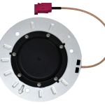
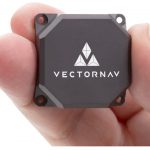
Market-leading SPAN technology from Hexagon | NovAtel delivers precise positioning, attitude, velocity and heave measurements.
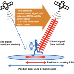
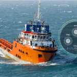
Hexagon | VERIPOS is proud to introduce SPAN GNSS+INS technology from NovAtel, also part of Hexagon, into the offshore oil and gas marine market. NovAtel and its SPAN technology accelerated development in GNSS positioning, sensor fusion and inertial navigation systems for over 15 years.
By Inside GNSS