Power-packed Autonomous Week, September 9–11, swings into action with an awesome Day One, Wednesday, September 9 session on the use of drones in Intelligence, Surveillance and Reconnaissance (ISR).
Packaged particularly for engineers, designers, and integrators, this expert-led virtual classroom provides the knowledge and tools you need. It features expert insights and key technology aspects of sensors, platforms and integration for implementing autonomy .
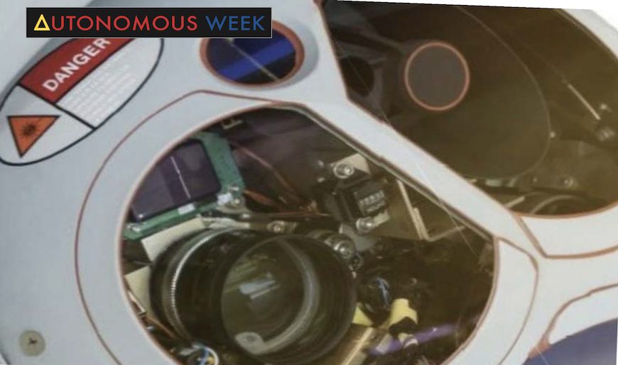
Industry Focus: Infrastructure, Defense and Security
Sensors: Electro Optical (EO), InfraRed (IR), GNSS/INS, LiDAR
Platforms: UAS
Enterprise Data and Software: Digital Elevation Model
Key takeaways:
- Why positioning is so important for ISR systems
- How electro-optic and infra-red (EO/IR) cameras geolocate themselves and their targets
- Why camera point angle is so crucial, and how to ensure its correctness
- How your mission can survive GNSS jamming, how fast your position will decay using inertial only
- Capabilities of a new tool for GNSS forecasting: generating heatmaps in terrain to know where your GNSS signal will be optimal
- Determining how and where obscuration and multipath effects may challenge your operation
- Planning different flight corridors as a function of altitude
- How to determine your operational requirements, and how those dictate sensor selection and integration
- Aspects of GNSS+inertial for specific sensor payloads and for the flight platform — usually not the same.
- Positioning error sources and how to account for them in system performance
- How to know with accuracy where you’re looking and where the objects on the ground are (georeferencing)
- How to determine what accuracy you’re obtaining
The best-in-class innovators — all with deep, specialized, hands-on experience in getting unmanned systems up and running — speaking on this webinar, and answering your questions in live interchange, include:
 General James Poss, a career senior intelligence officer (retired) in the U.S. Air Force, now CEO of ISR Ideas, an intelligence, unmanned aerial systems and cyber warfare consulting firm. General Poss is the founder and former Executive Director of the FAA’s center of excellence for unmanned research. He is a 30-year US Air Force veteran, a leading expert on UAS, with extensive experience in cyber operations from assignments with the National Security Agency and the US Cyber Command.
 Arthur Neeves, Business Development Manager of Aviation, Spirent Communications. With extensive work experience for Bell Labs Telecommunications, AT&T’s government business unit Advance Technical Systems, Corning, British Telecoms Photonics, Northrop Grumman (running a high technology business unit focused on ISR missions for unmanned aircraft systems), SAIC (leading their UAS initiative formulating and documenting strategy for the UAS business), and finally Spirent. He holds Part 107 UAS pilot license.
 Jeremy Davis, director of engineering at VectorNav, focused for a decade on high-performance inertial navigation solutions using the latest inertial sensor and GPS/GNSS technologies. He holds a Ph.D. in aerospace, aeronautical and astronautical engineering from Texas A&M University and has particular expertise in orbital mechanics, simulations and robotics. He is the author of “The Inertial Navigation Primer.”
Register here for Autonomous Week.
Coming hard on the heels of Day One of Autonomous Week, tune in also for Days 2 and 3.
THURSDAY, SEPTEMBER 10 MACHINE CONTROL
Industry Focus: Heavy construction, Mining
Sensors: GNSS, Inertial, Corrections, Beacons
Platforms: Autonomous heavy equipment
Enterprise Data and Software: Reality capture and data management
FRIDAY, SEPTEMBER 11 AUTONOMOUS GROUND VEHICLES
Industry Focus: Precision Agriculture
Sensors: GNSS, Inertial, Corrections and Perception Sensors
Platforms: Autonomous ground vehicles: tractors, trucks
Enterprise Data and Software: Data fusion, situational awareness through precision perception
Autonomous Week takes our industry-leading webinar series—running continuously for 11 years—to the next level. Not one, not two, but three full-bore webinars packed with technical detail, a deeply focused tutorial series on the game-changing implementation of autonomy.


