December 3, 2019
New 4-Constellation Chip from u-blox
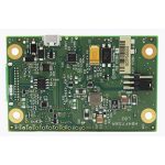
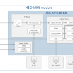
u‑blox released the NEO‑M9N, the first module based on the company’s new robust meter‑level M9 global positioning technology platform, designed for demanding automotive, telematics, and UAV applications.
By Inside GNSS