The Department of Transportation (DOT) selected 11 firms to demonstrate technologies that could be used to back up the services provided by GPS should GPS signals be jammed, spoofed or unavailable.
DOT did not specify how much each firm was awarded. The total amount allocated to the 11 companies was $2,507,500, making the average level of the contracts to each firm $230,000. The government had said in late September that it might award up to 20 contracts for demonstrations.
DOT did not specify what each firm would do. See further below in this story for a list of the firms and some of their published capabilities.
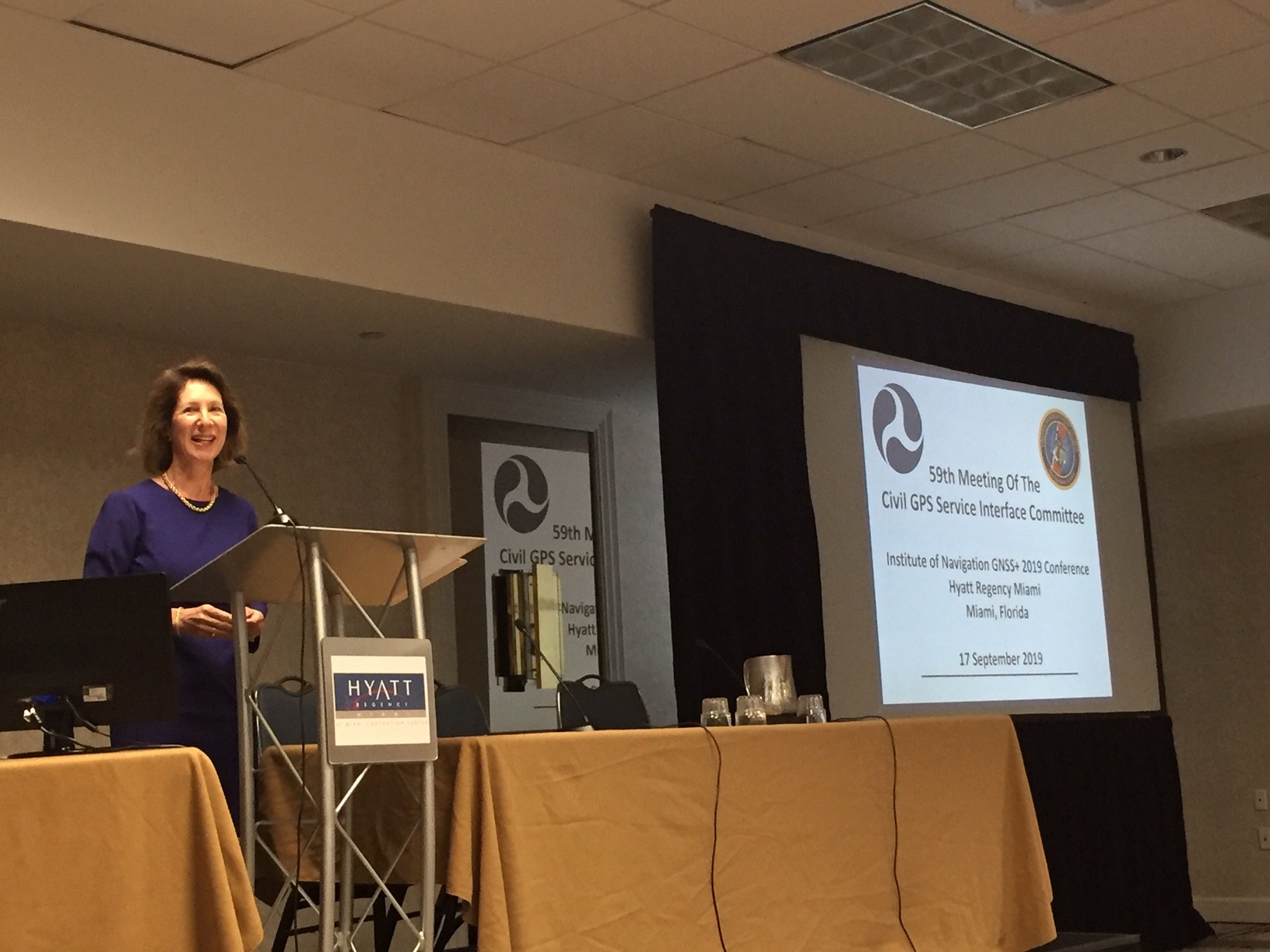
[Diana Furchtgott-Roth, DOT deputy assistant secretary for research and technology, speaks to the Civil GPS Service Interface Committee (CGSIC) meeting in Miami. Photo: Dee Ann Divis]
The mix of capabilities provided by the firms on the list is not an accident.
“We are seeking the best solutions to ensure that America has a combination of PNT systems which, when used together, will be difficult to disrupt,” said Diana Furchtgott-Roth, DOT deputy assistant secretary for research and technology. “This effort will inform implementation of a system that is, to the maximum intent possible, required to be terrestrial, wireless, have wide area coverage, be difficult to disrupt and capable of expansion to provide positioning and navigation services. We might not be able to do all those things but we are very much going to try our best possible.”
DOT’s Volpe National Transportation Systems Center (Volpe Center) will support the demonstration that will take place this March, according to Furchtgott-Roth. She spoke to the September meeting of the Civil GPS Service Interface Committee (CGSIC) in Miami.
Each selected technology had to be at readiness level 6 or higher, meaning a prototype has been tested in a simulated environment. The firms also had to provide either timing information, position information or both, and be capable of operating in the absence of GPS/GNSS broadcast signals. Solutions in the demonstrations must provide more than just interference mitigation of GPS/GNSS broadcast signals or provide resiliency to those specific signals.
On the business side, the technologies chosen for demonstration had to be:
• capable of interfacing with specific government data collection systems,
• able to meet regulatory compliance and
• without any proprietary licensing agreement restrictions.
National defense reasons could limit disclosure of the information from the technologies demonstrated.
The selectees:
Echo Ridge LLC of Sterling, Virginia has been working with the Air Force Research Laboratory Center for Rapid Innovation to develop a way to determine position from radio signals.
Hellen Systems LLC of Middleburg, Virginia seeks to develop and deploy enhanced LORAN (eLORAN).
NextNav LLC of Sunnyvale, California provides encrypted signals and accurate positioning in three dimensions using licensed spectrum and terrestrial transmitters.
OPNT BV of Amsterdam distributes synchronized timing using existing fiber networks based on the White Rabbit protocol developed by the European Organization for Nuclear Research (CERN).
PhasorLab Inc., of Nashua, New Hampshire offers high-precision carrier synchronization technology that can be used to do time and frequency synchronization. This technology is also capable of determining position and doing centimeter-level target tracking.
Satelles Inc., which is in the process of moving to Reston, Virginia, uses the Iridium satellite constellation to provide strong, encrypted navigation signals that the firm said in 2016 would enable 20- to 50-meter unaided position accuracy and microsecond timing.
Serco, Inc. is a global provider of air navigation services. It also has an effort in its New London/Norwich, Connecticut office focused on eLoran.
Seven Solutions Sociedad Limitada provides time as a service, remote timing monitoring, GPS jamming protection and solutions for intra- and inter-datacenter synchronization. The firm is based in Granada, Spain.
Skyhook Holding Inc., with offices in Boston and Philadelphia, uses Wi-Fi, GNSS and cell signals to locate devices, even if they are offline.
TRX Systems of Greenbelt, Maryland uses sensor fusion and mapping algorithms to provide real-time 3-D location and mapping within buildings and underground where GPS is not always available.
Ursa Navigation Solutions Inc. (UrsaNav) has developed an eLoran transmission system in cooperation with the Canadian firm Nautel. UrsaNav, headquartered in North Billerica, Massachusetts, also offers eLoran equipment.


 GPS Alternative in Commercial User Equipment")

