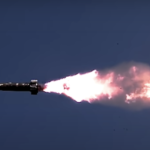
U.S. Air Force Adds CRPA Testing Solution to Golden Horde Weapons Program
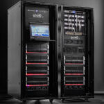
The U.S. Air Force Guided Weapons Evaluation Facility ordered a BroadSim Wavefront advanced GNSS simulator from Orolia Defense & Security for weapons testing under electronic warfare — jamming — environments, among a wide range of other conditions.
By Inside GNSS