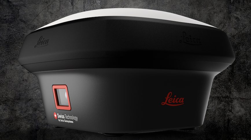
Hexagon introduced a news survey-grade GNSS RTK rover with visual positioning at the InterGeo expo in Berlin. Designed for surveying professionals to measure points which previously could not be measured with a GNSS rover easily and accurately, the Leica GS18 I captures the site in images and measures points from them, either in the field or later in the office.
Sensor fusion of GNSS, an inertial measurement unit (IMU) and a camera together create the visual positioning aspect, enabling surveyors and others to measure what they see, at high accuracy. Alternatively, users can create point clouds from captured images using Leica Infinity to expand possibilities even further.
Designed to measure a large number of points efficiently, the GS18 I can capture images and measure hundreds of points within minutes, according to the company, with no need to physically reach each point. Time spent on-site is reduced and revisits minimized. Once the site is captured, all details can be measured at a later time.
Field and Office Software
The GS18 I RTK rover uses Leica Captivate software to capture and process data in the field, and Infinity to measure points back in the office, conveniently on a larger screen and without disturbances from weather or traffic. Infinity survey software is designed to manage, process, analyze and quality-check all field survey data from GNSS sensors, total stations, digital levels, and UAVs.
The GS18 I features:
Measurement Performance and Accuracy
Time for initialization Typically 4 s
Real-time kinematic Single baseline 8 mm + 1 ppm / V 15 mm + 1 ppm
(Compliant to ISO17123-8 standard) Network RTK Hz Hz 8 mm + 0.5 ppm / V 15 mm + 0.5 ppm
Real-time kinematic tilt compensated Topographic points (not for control points) Additional Hz uncertainty max 8 mm + 0.4 mm/° tilt down to 30° tilt
Post processing Static (phase) with long observations Hz 3 mm + 0.1 ppm / V 3.5 mm + 0.4 ppm
Post processing Static and rapid static (phase) Hz 3 mm + 0.5 ppm / V 5 mm + 0.5 ppm
Code differential DGNSS Hz 25 cm / V 50 cm
Image point measurement 1-click measurement in field / office Typically 2 cm – 4 cm (2D1), within the distance of 2 m to 10 m to the object
Imaging
Camera Sensor / Field of view (Hz, V) / Frame rate Global shutter with 1.2 MP / 80°, 60° / 20 Hz
Image group capture 2 Hz capturing rate Max. capturing time: 60 s, size of an image group appr. 50 MB
Point cloud Leica Infinity software Derive point cloud from an image group


