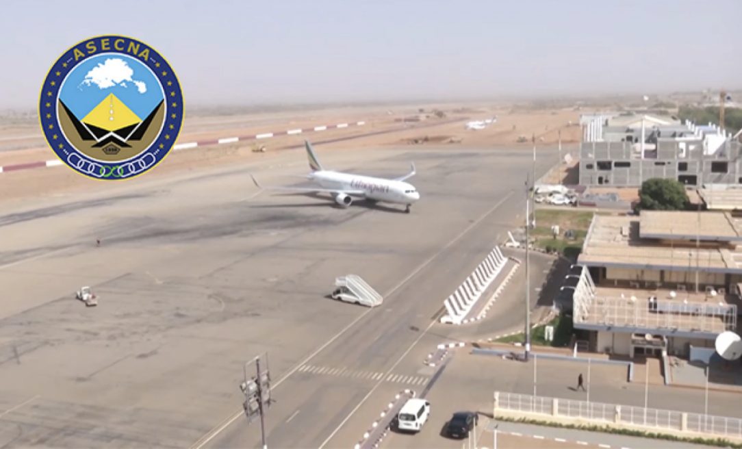
In September, the Agency for Air Navigation Safety in Africa and Madagascar (ASECNA) started broadcasting a satellite-based augmentation system (SBAS) signal over Africa and the Indian Ocean. This marks the first SBAS open service in the region, modeled based on the European Geostationary Navigation Overlay Service (EGNOS).
The ASECNA SBAS was developed as part of the ‘’SBAS for Africa & Indian Ocean’’ program as a first step towards providing robust navigation services in the aviation sector. During this first stage of development, the ASECNA SBAS open service is working in test mode i to carry out signal tests and other technical trials. This test phase will enable ASECNA to perform demonstrations for aircrafts and rotorcrafts to showcase the benefits of the future safety-of-life services. The ASECNA SBAS signal will be visible in the whole of Africa and Indian Ocean, up to the West Australian coast, and also in Europe.
Based on EU Space technology
Like EGNOS, the ASECNA SBAS relies on a range of ground sensors, currently based on the Stations ASECNA GNSS pour l’Analyse de la Ionosphère Equatoriale (SAGAIE) network, collecting data from GPS satellites signals which are centrally processed to determine corrections and integrity messages according to international SBAS standards. These messages are then incorporated into the ASECNA SBAS signal broadcast by a payload onboard the NigComSat 1R, a Nigerian geostationary satellite. Receivers can then process this signal to improve accuracy and ensure the integrity of the position over the service area.
The “SBAS for Africa and Indian Ocean” is based on the technology developed for EGNOS, the EU SBAS, managed by the European GNSS Agency (GSA) on behalf of the European Commission. Since 2015, the GSA and its EGNOS team have been closely co-operating with ASECNA to provide programmatic advice, EGNOS data, lessons learnt and technical expertise, contributing to the system preliminary definition phase and to the deployment of this initial signal.
“The provision of the first African SBAS early service is a crucial major step forward in the development of satellite navigation in the AFI Region, the navigation solution for Africa by Africa. It demonstrates the ambition and commitment of ASECNA to enhance air navigation safety for the benefit of the whole continent, in line with my vision for the unification of the African Sky” stated Mohamed Moussa, Director General of ASECNA.
More than 350 European airports use EGNOS with the number rising. The provision of EGNOS-type services to Africa will provide signal coverage in areas currently not equipped with conventional navigation aids, increasing aviation safety and airport accessibility especially in remote regions. Accessible airports equal more commercial opportunities for airlines and new flight routes at a regional and international level, with minimum costs for ground infrastructure and its maintenance.
The future evolution of ASECNA SBAS will guarantee safer approaches for the crew and the passengers, while lowering the percentage of go-arounds caused by challenging weather conditions. As more and more SBASs switch to multi-constellation/multifrequency, the SBAS services offer greater availability to users while guaranteeing integrity to comply with aviation stringent regulations.
Photo courtesy GSA.


