NextNav, a provider of 3D geolocation, announced the availability of its vertical positioning service in sixteen major metropolitan areas in the US. The vertical positioning service helps first responders find people — via their cell phones or tablets — faster in multi-story buildings, opens up new urban markets for location-based applications, and unlocks a new ecosystem of 3D geolocation products.
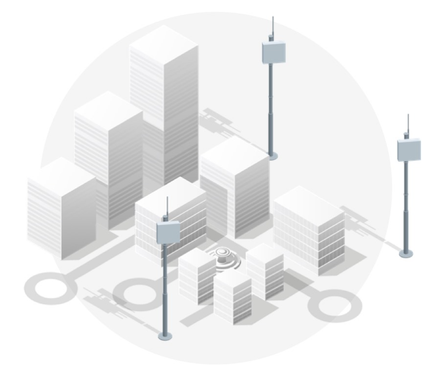
NextNav uses a Metropolitan Beacon System (MBS) to provide its location services. The technology’s performance exceeds the FCC requirements for wireless E911 location accuracy, offering z-axis data within three meters, 94% of the time, according to the company. Leveraging the barometric sensors already available in many user electronic devices, the company’s Pinnacle product delivers “floor-level” altitude measurements which exceed the FCC requirement for 3m accuracy.
The user device measures environmental conditions and sends a reading to the NexNav Cloud, where the Pinnacle service compares device data to local conditions, subtracting the weather and other factors to leave behind a highly accurate altitude measurement. NextNav altitude station contribute to the solution by creating a hyperlocal model of environmental conditions. The NexNav Cloud returns an altitude message to the user device.
As part of the first set of markets in NextNav’s nationwide launch plan, the service is now available in Austin, Birmingham, Carson City, Des Moines, Las Vegas, Memphis, New Orleans, Oklahoma City, Portland OR, Reno, Tulsa, Sacramento, Salt Lake City, San Antonio, San Francisco, and San Jose.
NextNav’s network covers over 23 million people in these markets, including an estimated 94% of structures taller than two stories. The company says it is on track to fulfill its goal of providing service to 105 major metropolitan areas by April 2021.
A software development kit enables integration of 3D location into any application. Developers can draw on pre-built visualizations or construct their own using NextNav’s vertical positioning data.


