February 17, 2012
Spectracom Offers New Signal Generator for In-Line GNSS Product Testing
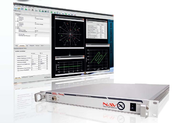
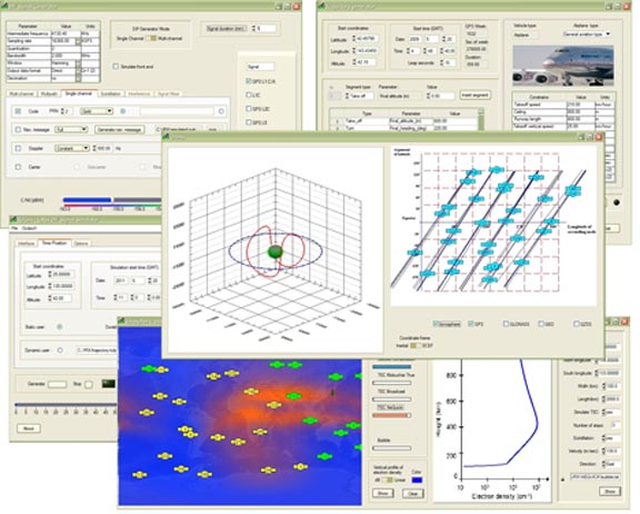
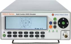
Spectracom has announced the GSG-52 RF Signal Generator, a new offering in its line of GPS constellation simulators.
The GSG-52 is designed for in-line product testing of navigation-fix and positioning functions of integrated GPS or other GNSS receivers. In a compact portable form factor, the signal generator offers four-channel simulation and a list price of less than $10,000.
By Inside GNSS