December 2, 2020
By Inside GNSS
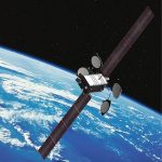
WAAS: Improving Safety for Civil Aircraft
The United States Federal Aviation Administration’s (FAA) Wide Area Augmentation System (WAAS) uses Hexagon | NovAtel technologies, including reference receivers and signal generators, to provide the accuracy and integrity necessary to safely operate civil aircraft. Here’s a look at the updated technologies and how they enable GPS as a safety of life service for aviation.