Survey and Mapping Archives - Page 20 of 27 - Inside GNSS - Global Navigation Satellite Systems Engineering, Policy, and Design

Survey and Mapping

March 16, 2011

Trimble to Acquire Fugro’s OmniSTAR DGPS Service
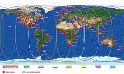
Omnistar DGPS world map

Trimble announced on March 16 that it has entered into a definitive agreement to acquire certain assets related to the OmniSTAR GNSS signal corrections business from Fugro N.V.

The acquisition is expected to significantly expand Trimble’s worldwide ability to provide correction services for a broad range of land-based applications in addition to OmniSTAR’s current focus in agriculture. Fugro’s offshore marine business is unaffected.

Read More >

By Inside GNSS
March 14, 2011

Integer Aperture Estimation

For the complete story, including figures, graphs, and images, please download the PDF of the article, above.

Integer carrier-phase ambiguity resolution is the key to fast and high-precision GNSS positioning and navigation. It is the process of resolving the unknown cycle ambiguities of the carrier-phase data as integers. Once this has been done successfully, the very precise carrier-phase data will act as pseudorange data, thus making very precise positioning and navigation possible.

Read More >

By Inside GNSS
[uam_ad id="183541"]

ASCE -SPAR Geomatics Continuing Education Seminar

Marriott Convention Center

The American Society of Civil Engineers will offer a day-long program on Monday, March 21 at SPAR International 2011 that will focus on real-time GNSS positioning and using the 3D Global Spatial Data Model

Bill Henning, senior geodesist for the National Geodetic Survey, will lead  the morning session. With more than 43 years of experience in all phases of surveying technology, he is helping to develop guidelines and support methodology for real time GNSS position with state, national, and international organizations.

Read More >

By Inside GNSS
[uam_ad id="183541"]
January 11, 2011

Topcon and DICKEY-john Form Alliance Around Ag System Development

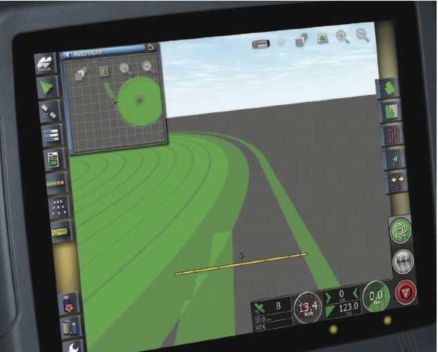
Topcon X30 controller

Topcon Positioning Systems (TPS) and DICKEY-john Corporation, an agricultural systems and machine control manufacturer based in Auburn, Illinois, have formed a strategic relationship in the agriculture industry.

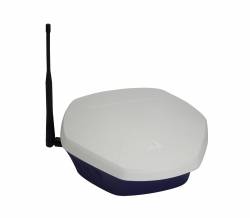
Headquartered in Livermore, California, TPS recently unveiled its System 350 machine control system, which employs the company’s new X30 control console and its AGI-3 receiver for autosteering.

Read More >

By Inside GNSS
1 18 19 20 21 22 27
IGM_e-news_subscribe