B: Applications Archives - Page 118 of 145 - Inside GNSS - Global Navigation Satellite Systems Engineering, Policy, and Design

B: Applications

Network RTK and Reference Station Configuration

Q: What effect does network size have on NRTK positioning?

A: Network real-time kinematic (NRTK) positioning is nowadays a very common practice, not only in academia but also in the professional world. In the last 10 years, several networks of continuous operating reference stations (CORSs) were created to support users. These networks offer real-time services for NRTK positioning, providing centimeter-level positioning accuracy with an average distance of 25–35 kilometers between the reference stations.

Read More >

By Inside GNSS

LightSquared: Who Pays for GPS Receiver Fixes Yet to be Devised?

With more testing on the horizon and a potentially alarming homeland security report about to be released, LightSquared’s efforts to begin work on its proposed wireless broadband service are stuck in the procedural mud.

The delays, which are never good for a commercial company, are piling up just as the firm’s coffers are thinning and need to be replenished with a new round of fund raising.

Read More >

By Dee Ann Divis
[uam_ad id="183541"]

Staying In Lane

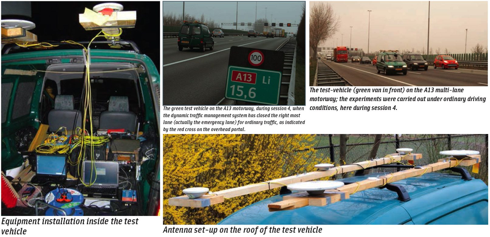
Next-generation car navigation may well require the ability to identify the lane in which a vehicle is operating on a motorway. This could support advanced driver assistance in general as well as the observation and study of driver behavior and traffic flow. Such road vehicle applications call for sub-meter positioning accuracy, often in real-time — all this preferably at low-cost.

Read More >

By Inside GNSS

True3D HUD Wins Global SatNav Competition

Mike Rowe, host of the Discovery Channel series Dirty Jobs, gets behind the wheel with MVSC’s HUD system at the Makers Faire in San Mateo, California. MVSC CEO Chris Grabowski sits in the passenger seat; CTO Tom Zamojdo is in straw hat. Photo by Valerie Hall.

A San Francisco Bay Area company — Making Virtual Solid–California (MVSC), which snared a trio of awards in a global GNSS competition for its novel approach to driver assistance, is still in early phases of development.

The origins of the company, however, go back more than 40 years to the Cold War era when its principals, Chris Grabowski and Tom Zamojdo, were studying physics and theoretical mathematics at the University of Warsaw, Poland.

But more about that later — first, the news.

Read More >

By Inside GNSS
November 11, 2011

Homeland Security Studies Risks to GPS, Prompts Spoof-Proof Receiver Proposal

Although a Department of Homeland Security (DHS) report on the risks posed by GPS disruptions has yet to be released, the analysis has inspired a proposal to create receivers capable of self-diagnosing spoofing attempts.

“The receiver is the first line of defense,” Logan Scott, president of LS Consulting, told members of the National Space-based Positioning, Navigation, and Timing (PNT) Advisory Board this week.

Read More >

By Inside GNSS
[uam_ad id="183541"]
November 8, 2011

GPS Coalition To FCC: LightSquared Must Not Use Upper 10-MHz Band

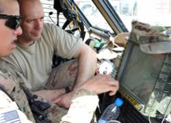
A United States Army specialist explains GPS system to a Croation soldier in their mine-resistant, hardened vehicle, Afghanistan (2011 Photo: Brian Henriksen, US Army)

[Update November 9 2011] In an ex parte filing with the Federal Communications Commission (FCC) on November 8, a leading GPS advocacy group has asked that the agency “promptly rule” that LightSquared not be permitted to pursue high-powered terrestrial operations in the upper Mobile Satellite Services (MSS) band adjacent to the GPS L1 band.

Read More >

By Inside GNSS
October 20, 2011

Augmented Reality System Wins Top Prizes in 2011 European Satellite Navigation Competition

MVS-California, the 2011 USA Challenge winner, grabs the top prize at European Satellite Navigation Competition (pictured: ESNC organizers Thorsten Rudolph and Ulrike Daniels with Bavarian state minister Martin Zeil and winners Tom Zamojdo and Juliana Carnes Clegg. (The two women on the right are unidentified.)

MVS-California, LLC, winner of the USA Challenge, took the top global prize in this year’s European Satellite Navigation Competition (ESNC) with the company’s True3D Head Up Display & Navigation System.
The company’s innovation is an augmented reality navigational display engine designed to provide non-distracting, translucent location guidance to untrained operators of any type of vehicle.

Read More >

By Inside GNSS
October 14, 2011

Galileo: At Long Last, Launch

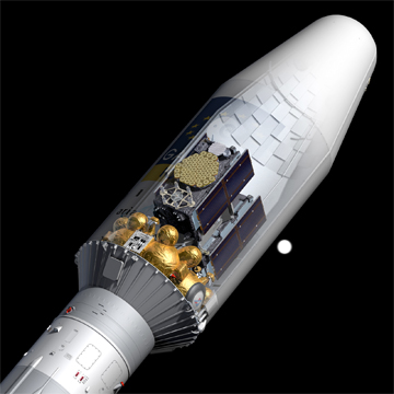
Galileo IOV satellites attached to their launch dispenser and encapsulated beneath the fairing of their Soyuz ST-B launcher Credit: ESA – P. Carril

Launch of two Galileo in-orbit validation (IOV) satellites next week will bring Europe’s long-awaited (and much-delayed) GNSS program into a new phase.

Liftoff from the European spaceport in Kourou, French Guiana, is scheduled for Thursday, October 20, at 11:34 GMT (7:34 a.m. local time). Progress in the operations and news updates can be viewed online at the European Space Agency website.

Read More >

By Inside GNSS
October 4, 2011

GNSS Systems Reports: Compass ICD, Expanded QZSS, GLONASS Launches, GPS Budget Issues, Galileo Reprofiling

[Updated October 3] All five of the world’s major satellite navigation systems are poised to offer new capability — if the money comes through — program representatives told attendees at the recent Institute of Navigation’s GNSS 2011 conference in Portland.

The satellite navigation systems in China, Japan, and the United States have each recently had new satellites added, while those in Russia and Europe are poised for new launches. Budgets are in flux for most systems, however, so it remains to be seen how the systems will advance over the next year.

Read More >

By Inside GNSS
IGM_e-news_subscribe