B: Applications Archives - Page 116 of 145 - Inside GNSS - Global Navigation Satellite Systems Engineering, Policy, and Design

B: Applications

February 23, 2012

IFEN and WORK Microwave Introduce Enhanced NavX-NCS GNSS Simulator
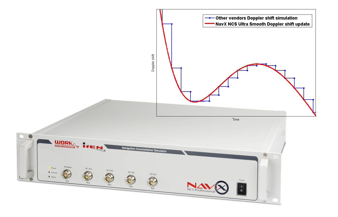
IFEN, the Poing, Germany–based manufacturer of GNSS navigation products and services, working in partnership with WORK Microwave, have announced an enhanced version of IFEN’s NavX-NCS Professional, a multi-frequency GNSS simulator.

Optimized for research and development of GNSS safety and professional applications, the enhanced version of the NavX-NCS Professional incorporate the following key features:

Read More >

By Inside GNSS
February 11, 2012

Challenges in GNSS /INS Integration

Dr. Andrey Soloviev, Qunav

GNSS and inertial technologies have a complicated mutual history.

Once competitors for navigation and positioning applications, they now appear ever more frequently in complementary roles — often within the same solution or system design.

Read More >

By Inside GNSS
[uam_ad id="183541"]
January 24, 2012

SIDEBAR: GNSS Attitude Determination on the Fly

Return to main article: "Winging It"

GNSS technology is used in various ways to find attitude or tra­jectory. The simplest method relies on measuring the velocity of a single receiver and interpreting the direction of that vector as the vehicle’s heading.

This works for applications where a vehicle’s motion is con­strained to only one axis – either absolutely, as with a train, or in the typical case of a car — when being driven responsibly!

Read More >

By Inside GNSS

SIDEBAR: In-Office Data Processing and Analysis

Return to main article: "Winging It"

With high-quality data sets obtained in the foot-to-foot configu­ration, we set about on postprocessing the data to extract more information about the NovAtel wingsuit system’s performance in the free-fall environment.

This was a multi-step process involving several NovAtel utilities and techniques, which we will describe here.

Read More >

By Inside GNSS
January 16, 2012

FIG /IAG Technical Seminar: Reference Frame in Practice

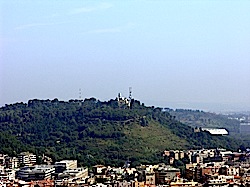
Monte Mario, the highest hill in Rome

A special seminar for geodesists will take place in Rome, Italy on May 4 and 5, just before the 35th FIG general assembly and working week.

The conference venue is the Cavalieri hotel on Monte Mario near the Vatican.

It is organized by the International Association of Geodesy (IAG), the surveyors’ international association (FIG) and the UN’s International Committee on GNSS (ICG).

Read More >

By Inside GNSS
[uam_ad id="183541"]

Code Tracking and Pseudoranges

FIGURE 2: Pseudorange computation based on transmission. On the left side, the satellites are transmitting mes¬sages synchronously. On the right side, the four subframes are received asynchronously, due to the different propagation time. The TLM word is taken as a referene. The time differences ?i are computed on the basis of the relative arrival times of the front of the first bit of the TLM word.

Q: How can pseudorange measurements be generated from code tracking?

A: Every GNSS receiver processes the received signals to obtain an estimate of the propagation time of the signal from the satellites to the receiver. These propagation times are then expressed in meters to solve for the user position using trilateration.

Read More >

By Inside GNSS

New Austerity Squeezes GPS as DoD Tightens Its Belt

Embracing the need for debt-driven discipline, the White House has revised its strategy for the nation’s defense, taking a more fiscally constrained approach that reduces the number of troops and future spending on defense systems.

The new plan, formally announced January 5, was already being put into effect last summer. “The strategic guid­ance was the compass by which we steered the budget review leading to the president’s budget for fiscal year ‘13 and the years thereafter,” Deputy Secretary of Defense Ashton B. Carter told reporters.

Read More >

By Dee Ann Divis

Winging It

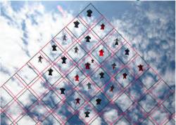
FIGURE 1: Competitive group skydiving is currently judged by overlaying a grid on a photo and evaluating location of divers within its cells. Photo by Mark Harris.

»NovAtel Inc. wingsuit video

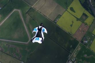
In 1589, at the age of 25, Galileo Galilei toiled up the 294 steps of a 55-meter bell tower in Pisa, Italy, where he was tutoring math students at the time.

According to his pupil and later biog­rapher, Vincenzo Viviani, Galileo carried with him two cannonballs, one twice the weight of the other. When he reached the top of the tower, he went to the lower balcony of the tilted structure and dropped the two balls simultaneously.

Read More >

By Inside GNSS
January 12, 2012

USAF Awards Lockheed Additional GPS IIIA Satellite Buy

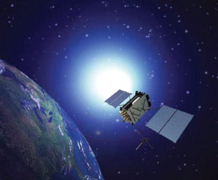
The U.S. Air Force has awarded Lockheed Martin a $238 million contract for production of the third and fourth satellites in the next-generation GPS constellation, known as GPS III.  The acquisition of the next two GPS IIIA satellites at one time will allow the Lockheed Martin-led team to maximize efficiencies in satellite manufacturing.

Read More >

By Inside GNSS
IGM_e-news_subscribe