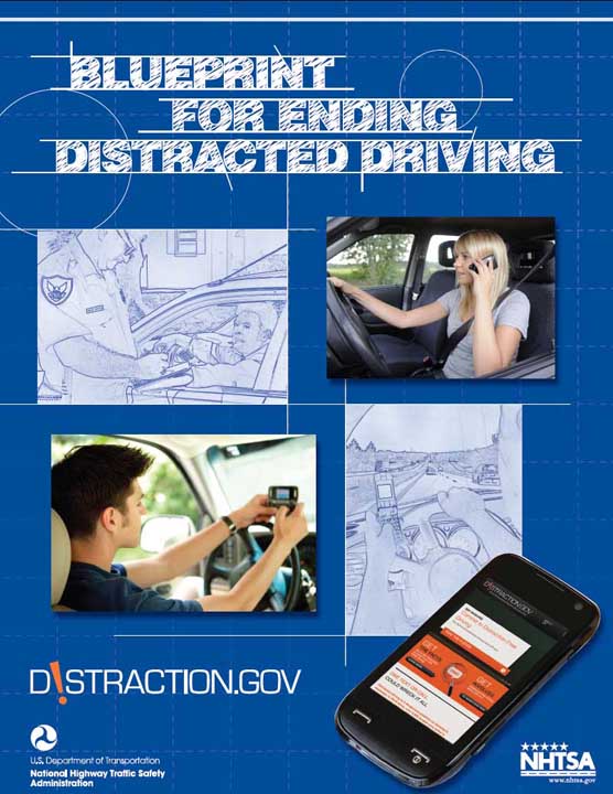
Highway safety officials are crafting guidelines aimed at pushing manufacturers to make portable electronic devices — including cell phones, hand-held navigation receivers, and navigation apps — less likely to distract drivers. They may face some push back, however, from members of Congress who are already questioning whether GNSS devices should be included under the proposed standards.
Working Papers explore the technical and scientific themes that underpin GNSS programs and applications. This regular column is coordinated by Prof. Dr.-Ing. Günter Hein, head of Europe’s Galileo Operations and Evolution.
By Inside GNSSA new GPS-based technology designed to warn drivers in time to avoid collisions has anonymizing elements in its design to keep the location of vehicles private, according to the Department of Transportation (DoT).
DoT has focused a lot of effort on reducing motor vehicle accidents — a leading cause of death in the United States. Nearly 34,000 people died in collisions in 2010, the latest year for which data is available, according to the Centers for Disease Control. CDC estimates the lifetime costs of crash-related deaths and injuries in 2005 alone were $70 billion.
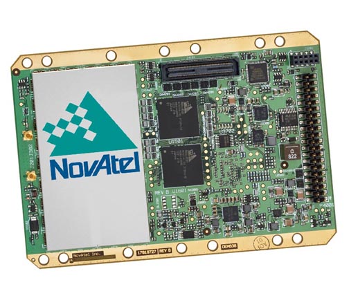
By Inside GNSSNovAtel Inc. has announced the addition of the two receivers and two antennas to its GNSS product lines: the OEM638 GNSS receiver card, ProPak6 enclosure, SMART6 integrated antenna, and AG-STAR antenna.
By Inside GNSSAccording to European Union (EU) figures, there should be €90 billion in benefits to be reaped by industry as a result of Europe’s €11 billion investment in Galileo. But what that really means is that there will be €90 billion in new income out there for someone to take.
By Inside GNSS1. PESTS
State of California, USA
√ The California Agriculture department is using collective intelligence and GPS to “report a pest.” State residents can download the new CDFA smartphone app and use it to photograph and report bad bugs when they see ‘em. Those with iPhones can choose to send GPS coordinates for quick response to invasive pest emergencies.
The October entry in this EU-sponsored series of free GNSS training workshops concerns GNSS vulnerability. It will take place at the University of Nottingham on October 8, 9 and 10.
The instructors will be Terry Moore, Alan Dodson and Marcio Aquino, all faculty at University of Nottingham Geospatial Institute.
The topics:
GNSS Overview: Position fixing, dead reckoning, space segment and SV blocks, ground control and improvement programs,user segment and applications
By Inside GNSSThe Air Force will put the navigation message onto the civil L2C signal as part of a test it plans to conduct this summer, sources have told Inside GNSS.
The test will take place over a two-week period in June and will involve all of the satellites capable of broadcasting the signal.
By Inside GNSSThe Raven Innovation Summit 2013 will take place at the Sioux Falls Sheraton and Convention Center in Sioux Falls, South Dakota from 3 p.m. on June 4 to 5 p.m. on June 5.
Raven Industries applied technology division develops GPS-guided steering systems and other precision agriculure products. Its electronic systems division (starlinkdgps.com) specializes in GPS navigation signal amplification and connection solutions.
By Inside GNSS[Updated February 4, 2013] Hemisphere GPS Inc. moved closer to a final exit from the OEM GNSS space yesterday (January 31, 2013) by signing a definitive agreement to sell the business assets associated with its non-agricultural operations to the Canadian subsidiary of Beijing UniStrong Science & Technology Co. Ltd., which will operate under the name The cash sale price was $14.96 million.
By Inside GNSS1. TIMING IS EVERYTHING
Washington, D.C.