agriculture Archives - Page 8 of 13 - Inside GNSS - Global Navigation Satellite Systems Engineering, Policy, and Design

agriculture

February 15, 2015

FAA, White House Lay Out Path for Small UAS Operations

Apparently working overtime during the President’s Day weekend, the U.S. Department of Transportation’s Federal Aviation Administration (FAA) today  (February 15, 2015) proposed a framework of regulations <http://www.faa.gov/regulations_policies/rulemaking/recently_published> that would allow routine use of certain small unmanned aircraft systems (UAS) while maintaining flexibility to accommodate future technological innovations. An overview of the small UAS rule can be viewed at

Read More >

By Inside GNSS
November 17, 2014

Reliable GPS-Based Timing for Power Systems

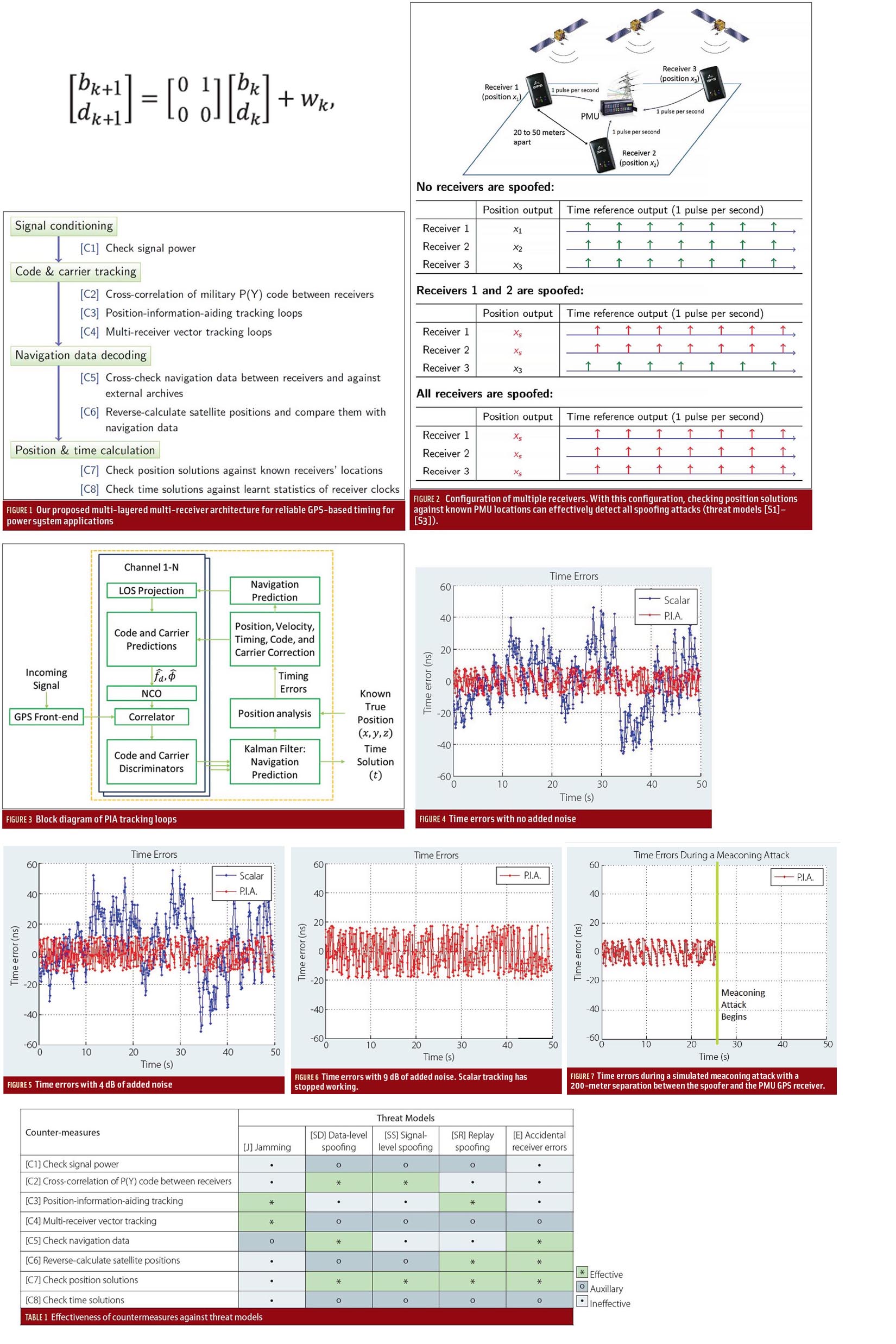
Efficient power transmission and distribution would benefit from synchronized near–real-time measurements of voltage and current phasors at widely dispersed locations in an electric power grid. Such measurements also could enable effective real-time system monitoring and control, which are considered to be the key to preventing wide-scale cascading outages like the 2003 Northeast Blackout.

Read More >

By Inside GNSS
[uam_ad id="183541"]
September 24, 2014

GNSS & Geodesy

Gerald Mader, National Geodetic Survey

In August, a group of scientists at the Scripps Institution of Oceanography reported that the severe drought gripping the western United States in recent years is causing a “uplift” in the western United States.

About the same time, governmental agencies were reporting widespread cases of land subsidence in California’s central San Joaquin Valley caused by overpumping of water from wells there.

Read More >

By Inside GNSS
September 20, 2014

Topcon Launches Two UAS Mapping Systems

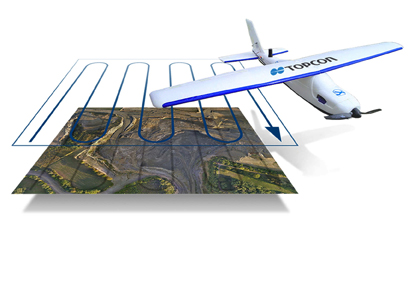
Topcon Positioning Group has released two unmanned aerial systems (UAS) for mapping — the Sirius Pro and Sirius Basic.  Both systems are designed to produce accurate solutions for the automated mapping of a wide range of sites — regardless of terrain — including construction sites, mines and quarries, and for use in land surveying, power line and pipeline inspection as well as precision agriculture field mapping.

Read More >

By Inside GNSS
September 18, 2014

Falling Prices Will Spur Innovation, Competition in High-Precision GNSS Market

The high-precision GNSS industry should expect to see industry consolidation and a scramble for new markets and innovations as prices for high-end chips and modules continue to slide, experts told attendees at a ION GNSS+ panel discussion in Tampa, Florida, last week (September 11, 2014).

The falling prices could strain R&D budgets, they noted, but could also create opportunity as high-end receivers come within reach of emerging industries like self-driving cars, unmanned aerial vehicles, and are even incorporated into consumer products.

Read More >

By Inside GNSS
[uam_ad id="183541"]
August 8, 2014

Test Sites: The Select Six

ALASKA
Remote Sensing

1. The Team
The Pan-Pacific UAS Test Range complex is likely the largest of the FAA test ranges both in terms of its number of participants and its geographic coverage. The University of Alaska Fairbanks manages the team, which comprises some 59 contributors including Oregon and Hawaii as well as the countries of Norway, Ireland and Canada.

Read More >

By Inside GNSS

Special Report: UAS in the NAS

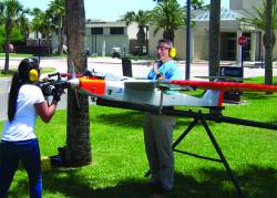
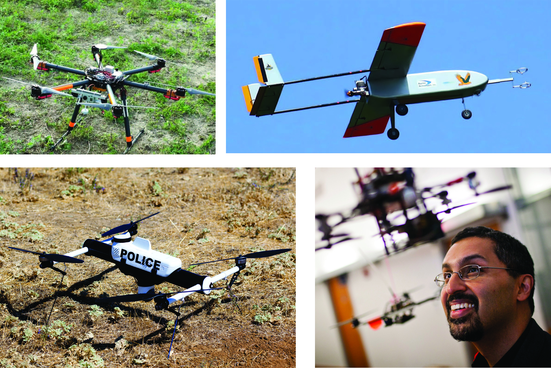
Clockwise from top left: A small drone rests on the ground during a demonstration in Florida, The Golden Eagle, a UAV developed at Clarkson University, takes wing, Nick Roy smiles at a drone in a lab at MIT, The Qube unmanned aerial vehicle by AeroVironment.

BY THE NUMBERS

Read More >

By Inside GNSS

Driverless Cars

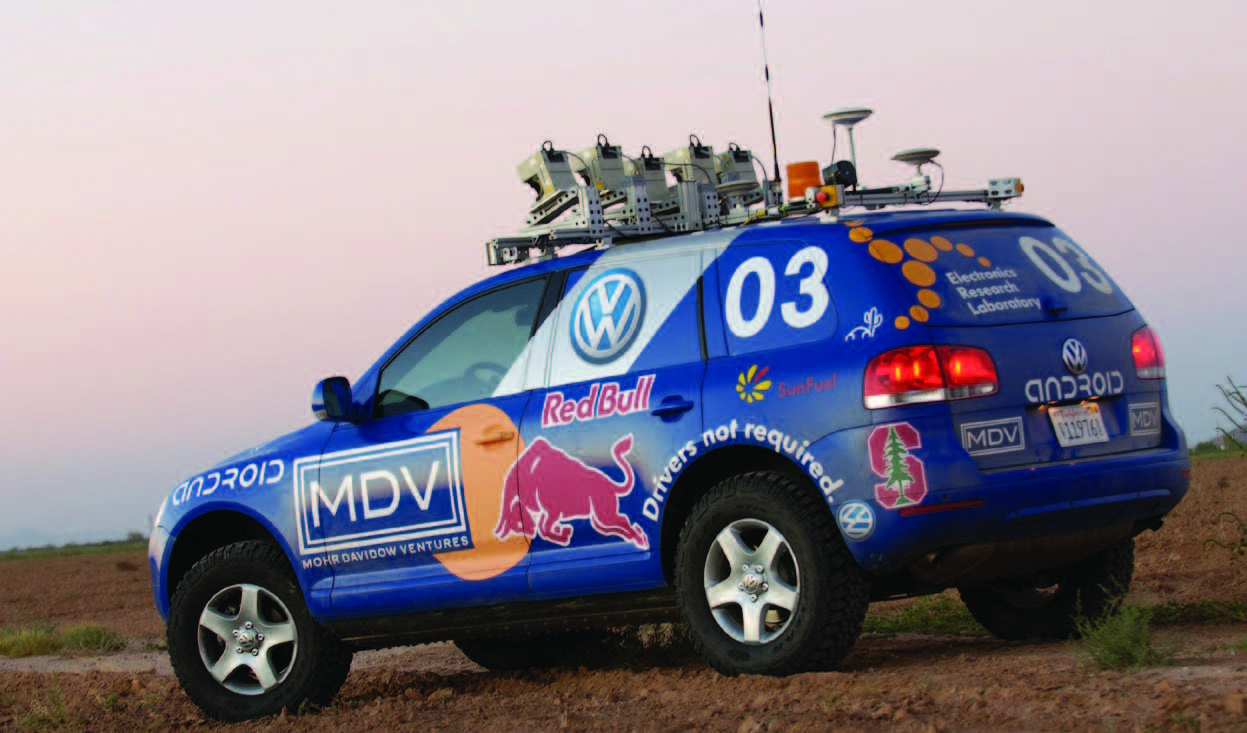
Stanley, an autonomous car developed by the Stanford University Racing Team, won the 2005 DARPA Grand Challenge after successfully traversing a 132-mile course.

Interest in automated vehicles is surging, fueled by visions of computer-directed cars able to independently thread their way through a traffic jam before safely dropping off their otherwise-occupied passengers and finding their own parking place.

Read More >

By Inside GNSS

Publisher’s Letter

Transformative.

My first encounter with an unmanned aerial vehicle, or UAV, was at the German Aerospace Center (DLR) in Oberpfaffenhofen Germany. Here, I watched in awe as a small quadrotor operated in an indoor flight testing “holodeck,” complete with an array of high-frequency strobe/camera units designed to log, stream and visualize precise position and attitude for rapid 3D mapping.

Read More >

By Inside GNSS
July 21, 2014

New Leaders at the GPS Helm

Washington, D.C., has a peculiarity of seasons. While most of the world marks the shifts between winter and spring, summer and autumn, the politicos on the streets of the U.S. capital count the passage of time in two-year increments.

New operatives and appointees flock to the centers of power in the early days of each administration and the opening of each Congress, then migrate to friendlier climes as congressional elections loom and the administration winds down — as it is now.

Read More >

By Dee Ann Divis
1 6 7 8 9 10 13
IGM_e-news_subscribe