March 1, 2013
Air Force Plans to Test Full Navigation Message on GPS L2C Signal
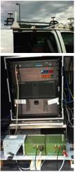
The Air Force will put the navigation message onto the civil L2C signal as part of a test it plans to conduct this summer, sources have told Inside GNSS.
The test will take place over a two-week period in June and will involve all of the satellites capable of broadcasting the signal.
By Inside GNSS