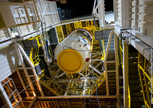
Arianespace Inquiry Identifies Source of Galileo Launch Anomaly; Next Attempt Could Come in December
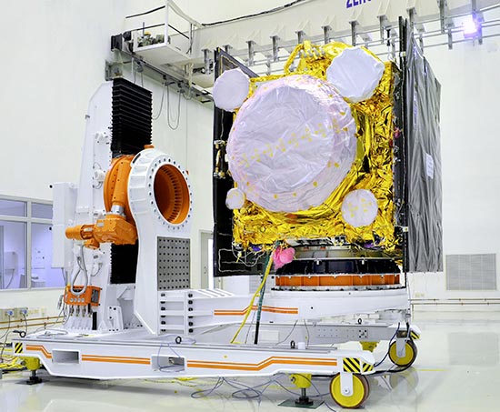
In a report issued Tuesday (October 7, 2014), an Independent Inquiry Board formed to analyze the cause of the August 22 launch anomaly that placed two Galileo into the wrong orbits has concluded that frozen fuel lines caused a misfiring of attitude control thrusters on the launcher’s Fregat module.
According to the report, the problem can be remedied on the rockets in time for another launch in December, much sooner than some observers had speculated.
By Inside GNSS