Innovative Test System for GNSS Signal Performance Analysis in Real Environments Part 2
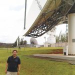
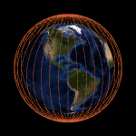
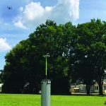
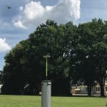
This article — Part 1 was published in the September/October 2018 issue — presents the authors’ experience in setting up an airborne pseudolite (UAVlite) with the needed ground-based infrastructure to perform code and phase ranging performance analysis. UAVlites transmit GNSS-like signals free from any local transmitter multipath (in contrast to ground-based transmitters) and can in principle be localized in real-time through a synchronized network of ground stations which may also broadcast the UAVlite positions in real-time.
By Günter W. Hein