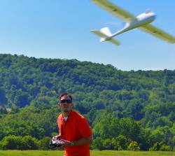
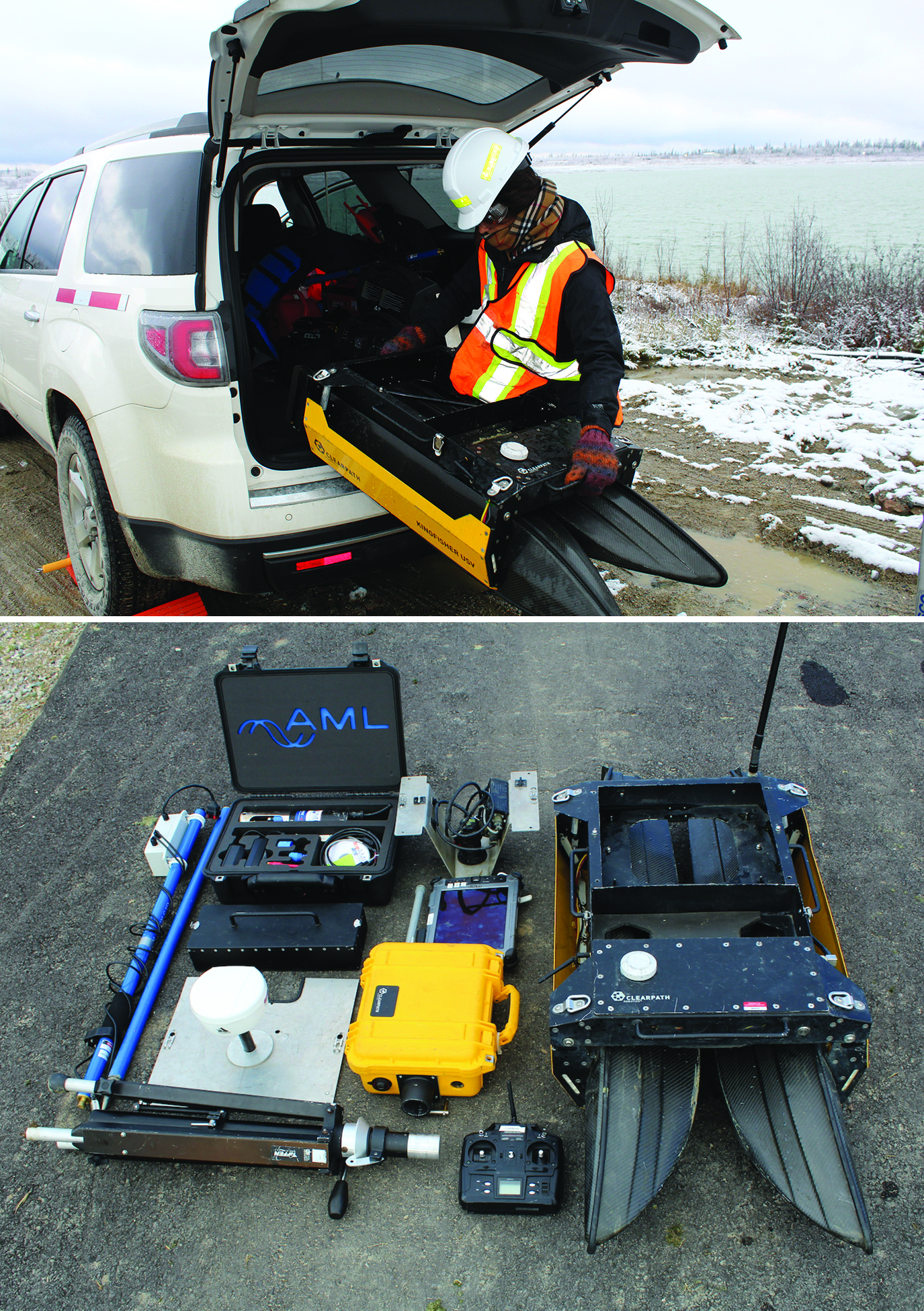
How do you trust centimeter level accuracy positioning?
Q: How do you trust centimeter level accuracy positioning?
By Inside GNSSQ: How do you trust centimeter level accuracy positioning?
By Inside GNSSSIDEBAR: Alison Brown’s Compass Points
On display in the Smithsonian’s “Time and Navigation” exhibit in Washington D.C. is the world’s first GPS-enabled cell phone. It was developed in 1995 by NAVSYS Corporation, a Colorado GNSS and inertial R& D company, as part of the push to build a national emergency notification system for mobile users, E911.
By Inside GNSSWorking Papers explore the technical and scientific themes that underpin GNSS programs and applications. This regular column is coordinated by Prof. Dr.-Ing. Günter Hein, head of Europe’s Galileo Operations and Evolution.
By Inside GNSSScintillation — rapid RF signal frequency and amplitude changes due to signal propagation path changes and phase shifting caused by solar turbulence in the ionosphere — is well known in the GNSS community. However, conclusive scientific studies that cover the whole extent of the question are hard to find. Galileo In-Orbit Validation Experiment (GIOVE) data processing confirmed the effects of scintillation on GNSS receivers, as described in the paper by J. Giraud listed in the Additional Resources section near the end of this article.
By Inside GNSS
1. The Team
The Mid-Atlantic Aviation Partnership, led by Virginia Tech, is the combined effort of Virginia, Maryland and New Jersey.
2. Research Centers
Virginia Tech, University of Maryland, Rutgers University, National Institute of Aerospace, Liberty University, New Jersey Institute of Technology, Rowan University, The Richard Stockton College of NJ, Virginia State University.
3. Test Ranges
By Inside GNSS
1. The Team
The state’s lieutenant governor chairs the Northern Plains Unmanned Systems Authority, which manages the state’s test range effort. The University of North Dakota is the leading research member of the group, which also includes North Dakota State University, the Office of the Adjutant General, North Dakota Aeronautics Commission and the North Dakota Department of Commerce.
2. Research Centers
University of North Dakota, North Dakota State University.
1. The Team
Airspace Integration Research (NUAIR) Alliance leads a consortium of more than 50 universities, companies and facilities supporting testing on unmanned aircraft systems (UAS) in New York and Massachusetts. The group includes firms like Lockheed Martin, Raytheon and Helios as well as research organizations such as Draper Laboratory and the Air Force Research Labs Information Directorate. More than 20 colleges and universities contribute to NUAIR.
The pentagon’s most creative research agency is seeking its second round of proposals for a system of deep sea devices that can lie dormant on the sea floor for years and then be triggered from a distance to deploy payloads including air and ocean drones.
By Inside GNSSOfficials will release a draft solicitation for the Federal Aviation Administration’s (FAA’s) new Center of Excellence for Unmanned Aircraft Systems (UAS) and field questions at a late-May meeting in Washington.
By Inside GNSSNine teams of students and private sector inventors will compete this fall to see who can build the best detect-and-avoid system for small unmanned aircraft.
By Inside GNSS
1. The Team
The Nevada Governor’s Office of Economic Development is leading the unmanned aircraft system (UAS) test range effort. The team’s core comprises three major academic centers plus industrial expertise gained supporting military unmanned aircraft programs.
2. Test Ranges Include