signal Archives - Page 2 of 22 - Inside GNSS - Global Navigation Satellite Systems Engineering, Policy, and Design

signal

January 24, 2017

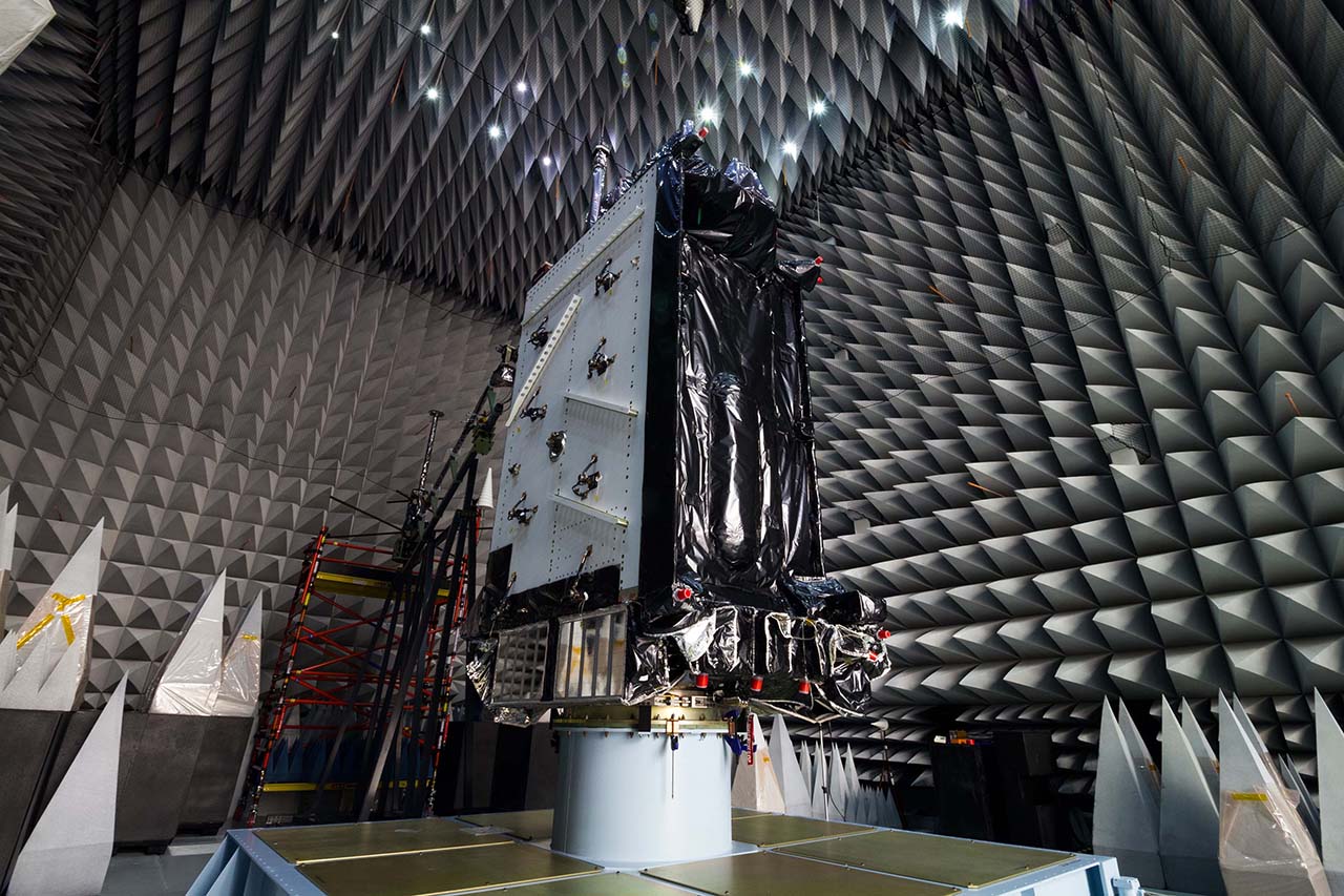
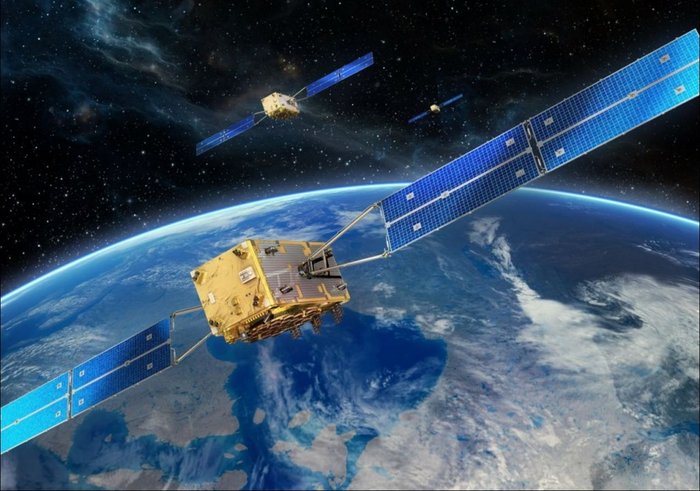
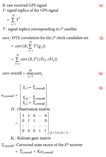
Multi-Receiver GPS-Based Direct Time Estimation

Equations

Incorporation of real-time synchronized phasor measurements in the control of power grids can play an important role in maintaining the overall closed-loop stability of the power system. In the past, instability in the power grid caused disturbances ranging from small local perturbations to severe large scale blackouts as can be seen from Figure 1. Currently, the synchronization achieved in measurements collected using devices known as supervisory control and data acquisition (SCADA) is not robust enough for efficient monitoring the power grid.

Read More >

By Inside GNSS
January 6, 2017

TRAK Microwave Releases 50-Channel GPS Reference Clock

8835 GPS Clock. Photo Source: TRAK Microwave.

TRAK Microwave, a brand of London, England– and Stuart, Florida–based Smiths Interconnect, has released its 8835 GPS Clock, a GPS time and frequency instrument. The 8835 GPS Clock is designed to deliver optimal power and interoperability options while maintaining GPS accuracy and reliability.

Read More >

By Inside GNSS
December 27, 2016

Air Force Continues to Test GPS III Satellite

GPS III satellites in production. Image Source: Lockheed Martin.

The U.S. Air Force Space and Missile Systems Center (SMC) says it continues to work on GPS III ceramic capacitor testing and plans to have an updated launch schedule published late next month.

As Inside GNSS reported, the first GPS III satellite’s delivery, originally scheduled for August, was delayed by four months because of a Lockheed Martin subcontractor’s failure to test a ceramic capacitor.

Read More >

By Inside GNSS
[uam_ad id="183541"]
December 8, 2016

Two More Galileo Satellites Transmitting Navigation Signals

After months of testing, the European Space Agency (ESA) has announced that Galileo satellites 13 and 14 are transmitting healthy navigation signals and ready to relay distress calls to emergency services.

The satellites, launched from Europe’s Spaceport in French Guiana on May 24, went through lengthy testing that included receiving and uplinking signals through specialized antennas, ESA said. Some of the tests included navigation and search and rescue payloads methodically switched on, the agency said.

Read More >

By Inside GNSS
December 7, 2016

Ligado Networks and Topcon Reach Spectrum Use Agreement

Ligado Networks has announced a cooperation agreement with Topcon Positioning Systems that removes another barrier to the wireless broadband company’s proposed 5G network rollout.

According to a November 29 letter to the Federal Communications Commission (FCC), the agreement calls for future coordination prior to network development and for any mitigation efforts. Topcon also urged the FCC to grant Ligado’s modification applications to enable ground-based services on its mid-band spectrum.

Read More >

By Inside GNSS
November 30, 2016

GPS, GLONASS, Galileo, and BeiDou for Mobile Devices

The navigation sensors for location-based services (LBS) are complex technical systems. Modern technical science can answer most questions about the optimality of particular position determination methods, signal processing algorithms, electronic circuits or similar well-defined problems, but the rigorous answer to the questions concerning the optimal LBS positioning sensor are still a big problem.

Read More >

By Inside GNSS
November 2, 2016

SDX GNSS Simulator Covers Four Satellite Navigation Systems

SDX GNSS Simulation with Four Simultaneous Constellations

With the addition of BeiDou B1 and B2 signals, Longueuil, Canada-based
Skydel’s (SDX) GNSS simulator now covers the four global navigation
satellite systems, the company said. SDX also added Galileo signals E5a
and E5b.

With these new updates, SDX said it is now possible to create a GNSS
simulation with a four-constellation, dual-frequency test scenario on a
single software-designed radio (SDR). The SDX GNSS simulator is ideal
for engineers, designers, and research institutes, the company said.

Skydel now offers these satellite signals:

Read More >

By Inside GNSS
[uam_ad id="183541"]
October 10, 2016

U.S. DOT GPS/GNSS Adjacent Band Compatibility Assessment Workshop V

A U.S. Transportation Department (DoT) public workshop will address GNSS receiver testing results October 14, 2016 at RTCA, Inc., 1150 18th ST NW, Suite 910, in Washington, DC.

The event begins at 10 a.m. and ends at 4 p.m.EDT.

Workshop members, as part of DoT’s fifth GPS Adjacent Band Compatibility Assessment (ABC) effort, will discuss GNSS receiver testing that includes non-certified aviation, cellular, general location and navigation, high precision and networks, timing, and space-based receivers, the agency said.

Read More >

By Inside GNSS
September 9, 2016

Changing the Rules

How do you win when you are really losing?

Play a different game, move the goalposts, change the rules.

For several years now, a series of would-be wireless broadband service providers have been attempting to convince the Federal Communications Commission (FCC) to repurpose radio frequency spectrum near the GPS L1 band.

Past efforts have failed because of the transmissions’ demonstrated harmful effects on GPS and other GNSS signals. Now a new contender is trying to gain FCC’s approval by changing the way that those effects are measured.

Read More >

By Inside GNSS

The Particular Importance of Galileo E6C

Equations

The Galileo E6 signal is centered at 1278.75 MHz, and comprises three signals: an authorized signal (E6A, the publicly regulated service, PRS plus two civilian signals), a data component (E6B), and a pilot component (E6C). Both E6B and C are modulated using binary-phase shift keying (BPSK) code division multiple access (CDMA) memory codes, having lengths of 5,115 chips and chipping rates of 5.115 Mcps.

Read More >

By Inside GNSS
June 22, 2016

ION ITM – PTTI 2017: ION International Technical Meeting and Precise Time/Time Interval Meeting

South Monterey Bay

The Institute Of Navigation (ION) annual technical meeting (ITM) will be held in conjunction with the Precise Time and Time Interval Meeting (PTTI) at the Hyatt Regency Monterey in Monterey, California on January 30 through February 2, 2017.

This year’s joint ITM/PTTI Plenary Session: Back to the Future: Forecasts for Time and Navigation, 1917 and 2017 will explore significant forecasts made in 1917 about time and navigation and relate them to the future as we envision it from 2017.

Read More >

By Inside GNSS
IGM_e-news_subscribe