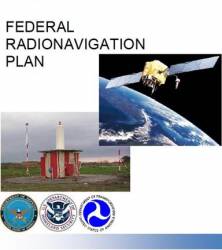
The Air Force may hold off on phasing out codeless and semi-codeless access to the GPS L2 signal in light of delays to GPS modernization, experts told attendees at the recent Civil GPS Service Interface Committee (CGSIC) meeting. The issue will likely be discussed as part of the formulation of the 2014 Federal Radionavigation Plan (FRP).
“Semi-codeless retirement in 2020 is being evaluated,” said Col. Colonel Harold Martin, deputy director of the National Coordination Office for Space-Based Positioning, Navigation, and Timing (PNT).
In 2008, the campaign of President Barack Obama pioneered the use of social media to power his way to the White House. In 2010, the president unleashed the National Security Agency (NSA) to collect and analyze details — including geolocation derived from GPS and other positioning technologies — of billions of American citizens’ telephone calls, e-mails, and social media such as Facebook.
Inside GNSS coverage of the GPS intellectual property dispute between the United Kingdom and the United States has won the magazine’s Washington correspondent, Dee Ann Divis, another journalism award — this one from the Military Reporters & Editors Association.
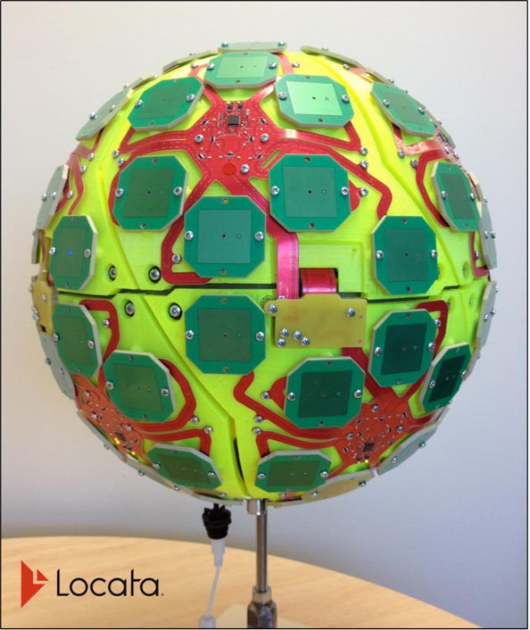
The Air Force Institute of Technology (AFIT) and Locata Corporation, based in Canberra, Australia, have announced the signing of a co-operative research & development agreement (CRADA) to build and demonstrate new Locata multipath mitigation technology for use in GPS receivers. This cooperation is expected to leverage many years of proprietary Locata ground-based technology development to bring completely new capabilities to satellite-based GPS receivers.
One of 12 magnetograms recorded at Greenwich Observatory during the Great Geomagnetic Storm of 1859
1996 soccer game in the Midwest, (Rick Dikeman image)
Nouméa ground station after the flood
A pencil and a coffee cup show the size of NASA’s teeny tiny PhoneSat
Bonus Hotspot: Naro Tartaruga AUV
Pacific lamprey spawning (photo by Jeremy Monroe, Fresh Waters Illustrated)
“Return of the Bucentaurn to the Molo on Ascension Day”, by (Giovanni Antonio Canal) Canaletto
The U.S. Naval Observatory Alternate Master Clock at 2nd Space Operations Squadron, Schriever AFB in Colorado. This photo was taken in January, 2006 during the addition of a leap second. The USNO master clocks control GPS timing. They are accurate to within one second every 20 million years (Satellites are so picky! Humans, on the other hand, just want to know if we’re too late for lunch) USAF photo by A1C Jason Ridder.
Detail of Compass/ BeiDou2 system diagram
Hotspot 6: Beluga A300 600ST
1. EASY RIDER Milwaukee, Wisconsin USA
√ Not only has century-old American motorcycle manufacturer Harley Davidson used consumer focus groups for the first time to develop its newest “hogs,” it has responded to customers with a voice-activated touch-screen GPS unit, the first on a production model. Now the Easy Riders don’t have to wend their way to trouble, they can ask their chopper where to go.
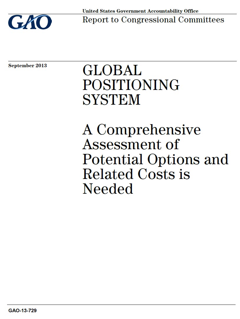
Air Force officials should get more cost and user information and determine how many GPS satellites they will support before making decisions about revamping the navigation system, the Government Accountability Office (GAO) has told Congress.
Although an Air Force report about program options was “a good starting point, more information on key cost drivers and cost estimates, and broader input from stakeholders would help guide future investment decisions,” the GAO wrote in an assessment of the defense agency’s analysis.
After skipping a year, the Munich Satellite Navigation Summit will reconvene on March 25, 26 and 27 in Der Residenz, München in Bavaria. The 2014 event will include a parallel track on Copernicus, the European Commision’s Earth Observation Program. Registration is now open at the web address below.
The opening plenary panel at 5 p.m. on Tuesday will discuss "GNSS-New Challenges."
Lockheed Martin and Raytheon Company have successfully completed the third of five planned exercises to demonstrate the launch readiness of the U.S. Air Force’s next generation GPS III satellite and operational control system (OCX).
This will be the 26th international technical meeting of the Satellite Division of the Institute of Navigation. It is the world’s largest and oldest GNSS conference, founded in 1987 as the ION GPS conference.
Significant progress has been made in integrating two classes of small, unmanned aircraft into the national air space (NAS), an area of considerable interest for GNSS companies whose products provide navigation and guidance for many of the unmanned systems.
Working Papers explore the technical and scientific themes that underpin GNSS programs and applications. This regular column is coordinated by Prof. Dr.-Ing. Günter Hein, head of Europe’s Galileo Operations and Evolution.
Ismael Colomina began his career in 1982. “So, in a way,” he says, “I grew up as a professional at the same time GPS was growing up and maturing. GNSS has always been present in my working life; so, I never experienced the ‘GNSS, aha!’ moment. Rather, I never stopped thinking ‘GNSS, of course!’"