June 9, 2014

AfricaGEO 2014 Conference & Exhibition
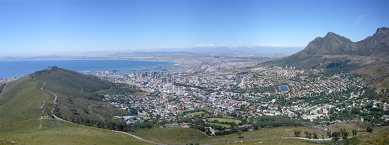
The AfricaGEO 2014 Conference & Exhibition will be held at Cape Town International Convention Centre (CTICC) in Cape Town, South Africa, from July 1-3 2014. The conference theme is ‘Developing Geomatics for Africa’, with an emphasis on the development of Geomatics (as an industry/technology) in the African context.
A series of plenary and parallel technical sessions as well as panel discussions will be scheduled throughout the three day conference. The official language of the conference will be English.
By Inside GNSS