April 2, 2013
NovAtel Launches New Series of SPAN IMUs
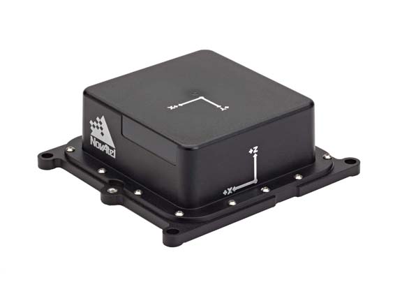
NovAtel Inc. has announced its new SPAN-IGM series of micro-electromechanical system (MEMS) inertial sensor products, including the IMU-IGM-A1 MEMS enclosure and the SPAN-IGM-A1 GNSS/INS enclosure.
The IMU-IGM-A1 is a small , rugged enclosure that houses a MEMS inertial sensor, which can be configured from the factory as an integrated GNSS + Inertial Navigation System (INS) or as a standalone IMU sensor for pairing with a customer’s existing SPAN-enabled OEM6 receiver. Its dimensions are 152 (length) x137 (width/diameter) X 51 (height) millimeters.
By Inside GNSS