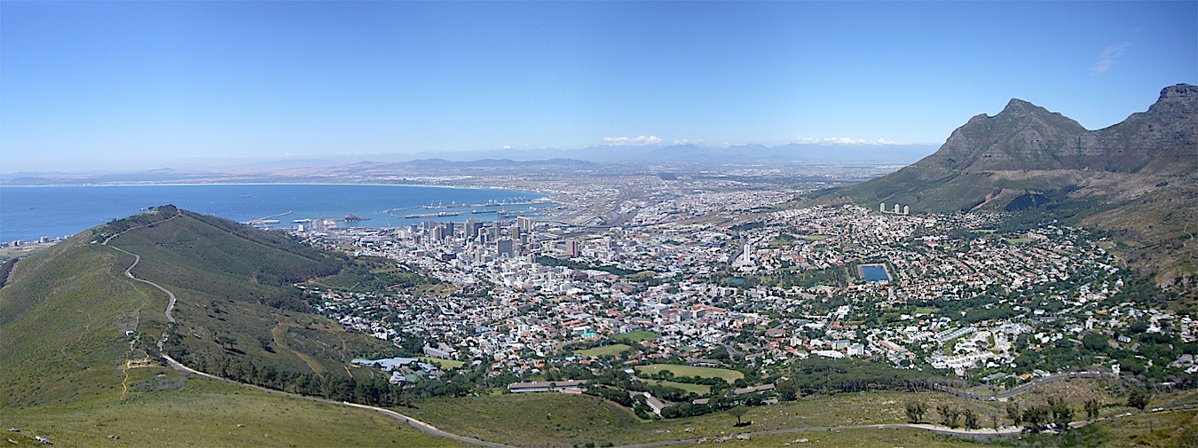

The AfricaGEO 2014 Conference & Exhibition will be held at Cape Town International Convention Centre (CTICC) in Cape Town, South Africa, from July 1-3 2014. The conference theme is ‘Developing Geomatics for Africa’, with an emphasis on the development of Geomatics (as an industry/technology) in the African context.
A series of plenary and parallel technical sessions as well as panel discussions will be scheduled throughout the three day conference. The official language of the conference will be English.
Online registration closes June 20, 2014 (on-site registrations from June 31, 2014)
The conference aims at facilitating interaction, discussion, collaboration and capacity building among the participants. It will provide a platform to share the latest developments in the industry of surveying and geo-information (including remote sensing and aerial imagery) and the issue of sustainable development. The exhibition will feature companies working in the geomatics sector.
The range of topics covered in the conference will include Surveying, Remote Sensing, Geo-Information Science (GISc) and Development Planning and Land Tenure. The topics will span the multiple disciplines within the Geomatics industry, including:
- Development planning, cadastre and land tenure
- Technology, engineering, precise surveying and scanning
- Geographic information science
- Spatial data infrastructure and management
- Remote sensing and photogrammetry
- Education and professional development
A number of concurrent workshops are being held at AfricaGEO 2014, including:
- FIG Young Surveyors Network Workshop on education
- Workshop on Spatial Data Infrastructures
International keynote presenters include Prof. Georg Gartner, President of the International Cartographic Association (Austria), Dr. Solomon Abebe Haile, Land & Governance, UN-Habitat II (Kenya), Mr. Jeff McKenna, president of the Open Source Geospatial Foundation (OSGeo) (Canada), Prof. Chris Rizos, president of the International Association of Geodesy (Australia), Dr. Chen Jun, president of International Society for Photogrammetry & Remote Sensing, National Geomatics Centre of China.
AfricaGEO is being organized by South African Geomatics Associations, and has the support of; PLATO, SAGI, GISSA, the Hydrographic Society of South Africa, the Institute of Mining Surveyors of South Africa, the Association of Aircraft Survey Companies and the Department of Rural Development and Land Reform.
This will be the second AfricaGEO Conference and Exhibition and it will build on the tradition of the Conference of Southern African Surveyors (CONSAS), which started in 1961.
For more information, contact Lesley Ferreira at the AfricaGeo 2014 Registration Secretariat using the email address below.
")


