April 1, 2021
Inside the Double-Fast Update Rate: the Whys and Wherefores of Ultra-rapid GNSS Simulation
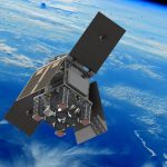
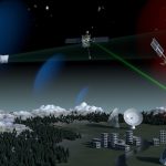
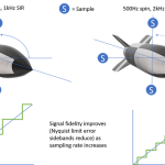
For testing PNT systems in a high-dynamics environment, such as rockets, guided munitions and even some UAVs, a realistic reproduction of that environment requires a lot of quick looks.
By Inside GNSS