Calling all automotive engineers — and anyone involved in designing or promulgating the fast-oncoming world of autonomous driving.
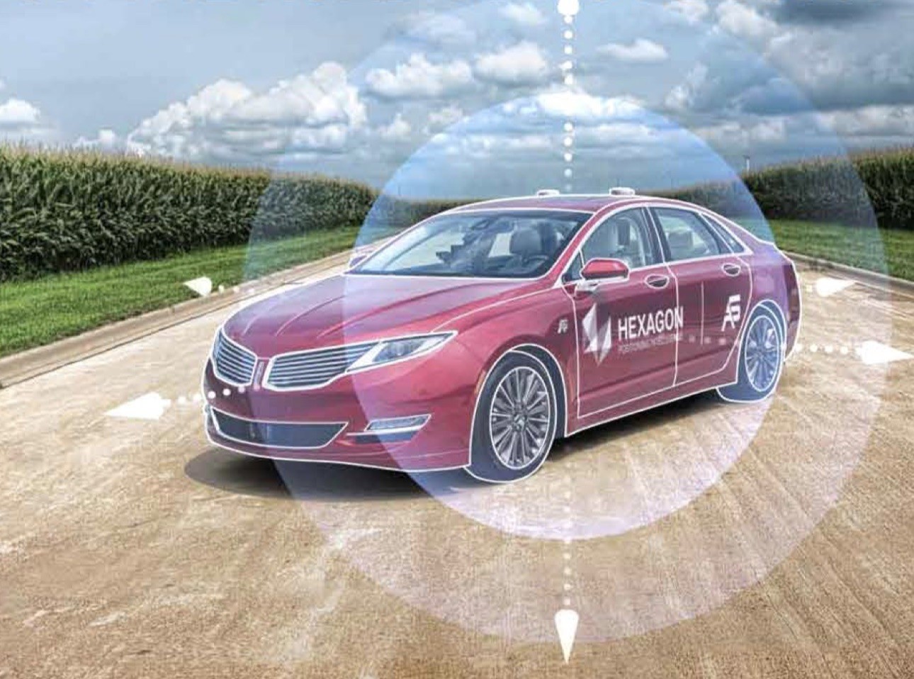
For driverless vehicles, current GNSS meter-level positioning accuracy still serves for lane-level detection. But hazardous misleading information poses a serious, disruptive and critical safety concern.
GNSS is well-versed and well-used for vehicle in-dash navigation, where no catastrophe ensues if positioning is interrupted or wrong. Those days are soon over.
Multi-constellation/multi-frequency (MCMF) GNSS with protection limits and correction services are necessary to move forward safely. This technology does not work off the small-size, single-frequency, narrow-band antennas that cars currently carry. Solutions in other sectors do not fit automotive market requirements.
REGISTER HERE
Takeaways from the December 18 webinar
Here’s what you need to consider — and what the webinar explains in detail — to use MCMF chipsets, with the new GNSS signals at L5, to provide safe and assured lane-level positioning:
- New patch or helix technology that covers multiple frequencies
- The stability of the frequency response in those bands
- Ground planes for the antennas to ensure the antenna can cover the large frequency range
- Multipath effects
- Doing all of this to automotive standards, in high volume, for low cost.
Expert Panel
These engineers understand the entire signal chain from antenna to receiver, to protection limits, and how everything works together.
Kevin Doherty is team lead, technical sales for NovAtel and Hexagon Positioning Intelligence. With the company since 2013, he maintains close contact with the Applications Engineering subdivision, where he previously worked as automotive and safety critical systems team lead. He has deep knowledge of the SPAN Ground Truth Reference Systems and Autonomous Driving including use of correction services, sensor fusion, and positioning for absolute vehicle localization. He has extensive experience and international travel assisting customers in vehicle-to-vehicle (V2V), vehicle-to-infrastructure (V2X), and various advanced driver assistance systems (ADAS) applications. He holds a B.Sc. in geomatics engineering from the University of Calgary, with a technology stream focus: navigation, GIS, photogrammetry and programming.
Curtis Hay is a technical fellow and lead GPS engineer at General Motors/OnStar, where his team develops precise GNSS and map technology for safe and reliable autonomous and semi-autonomous vehicles. He has been with the company for more than 9 years, with additional extensive industry experience after serving as a satellite engineer in the U.S. Air Force for 8 years. He has delivered papers and speeches at many international conferences, and previously appeared on a 2018 Inside GNSS webinar panel, “Beyond GNSS: Testing Solutions for Autonomous Vehicles and Robotics.”
Kazuma Gunning is a Ph.D. candidate in the GPS Research Laboratory of the Department of Aeronautics and Astronautics at Stanford University. Prior to joining the Lab in 2015, he worked for Booz Allen Hamilton in the GPS Systems Engineering and Integration group, doing modeling and simulation of the next-generation GPS Control Segment and software-defined receiver work, looking at the GPS III waveform. He has a B.S. and an M.S. from Stanford. He presented a paper on his recent research at the ION GNSS+ 2019 conference, “Integrity for Tightly Coupled PPP and IMU,” leading to improved solutions and protection-level continuity.


