February 27, 2017
Comments on Galileo Waiver Praise Benefits, Flag Future Complications
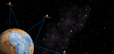
The Federal Communications Commission is being asked to choose between the immediate benefits of officially improving U.S. satellite navigation receivers and the possibility that, in doing so, it may raise interference levels in a neighboring band or make it harder to develop alternative uses for those adjacent frequencies.
By Dee Ann Divis