April 26, 2017
2 SOPS Bids Farewell to GPS Satellite
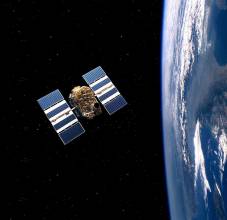
At 25 years old, Global Positioning System Satellite Vehicle Number 27 completed its time in orbit on April 18, and the 2nd Space Operations Squadron (2 SOPS) said goodbye via final command after disposal operations were complete. SVN 27 was launched in 1992, meaning it lasted more than triple its design life of 7.5 years.
By Inside GNSS