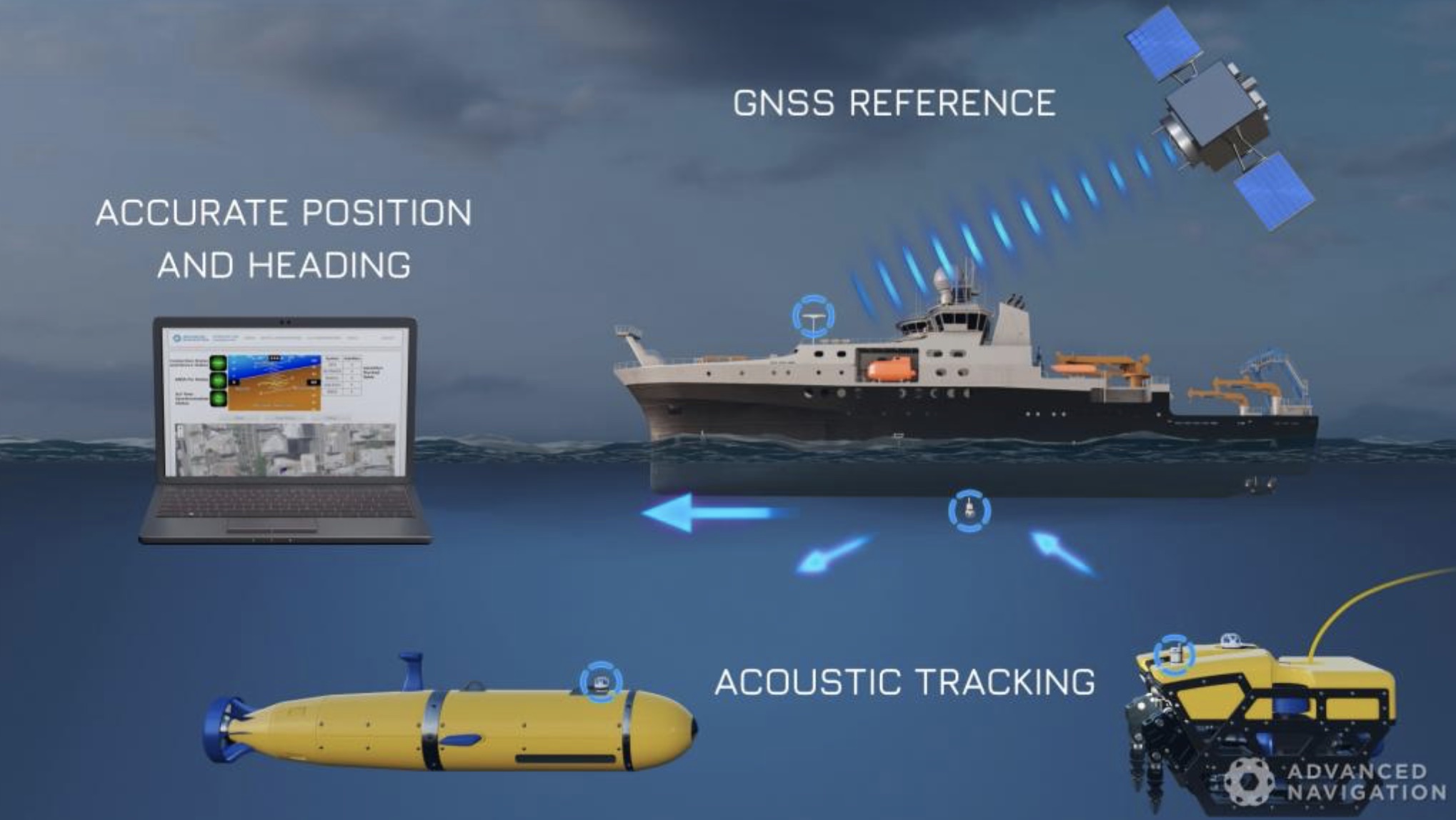
Australia’s Advanced Navigation, which specializes in a broad range of fields including sensors, GNSS, inertial navigation, RF technologies, acoustics, robotics, AI and algorithms, offers the GNSS Compass, a fully integrated wheelmark certified GPS/INS navigation and heading solution.
GNSS Compass contains a 9 axis IMU that is integrated with a dual antenna GNSS system with high performance antennas. It is designed to provide higher heading accuracy than magnetic systems and does not require any calibration or setup. The system is plug and play for NMEA 0183 and NMEA 2000 integrations, requiring no setup or configuration.
Interface Options
Four product variants are available to cater to every different application and budget. The low cost variant is an L1 only solution that is suitable for commercial vessel navigation while an L1/L2 variant meets the high accuracy requirements of surveying applications. It is also possible to choose between an NMEA 0183/NMEA 2000 interface and a Power over Ethernet interface for maximum flexibility. The Ethernet variant features NTP and PTP timing servers for precise time synchronization.
High Accuracy Positioning
The high accuracy variant supports L1/L2 RTK to deliver real time position accuracy of 8mm. Both the high accuracy and low cost variant support PPK (post processing) to deliver 8mm position accuracy using the Kinematica post processing software. Both variants support all of the current and future satellite navigation systems including GPS, GLONASS, Galileo and BeiDou.
Smaller Size, Weight
The GNSS Compass dramatically reduces the size weight and cost of attaining a high accuracy position and heading solution, according to Advanced Navigation. In addition the plug and play functionality of the device means that anyone can install it in minutes.
Described as a low cost all in one GNSS/INS navigation and heading solution, it provides accurate dual antenna GPS based heading that is not subject to magnetic interference and can maintain accurate heading during GNSS outages of up to 20 minutes. Applications include marine, automotive, marine surveying, and antenna targeting.
To watch a Marine & Subsea Navigation Solutions Video, click here.
For additional details on a variety of navigation and GNSS solutions, go to https://www.advancednavigation.com/product/gnss-compass.


