Magazine Section Archives - Page 18 of 66 - Inside GNSS - Global Navigation Satellite Systems Engineering, Policy, and Design

Magazine Section

More Than We Ever Dreamed Possible

Working Papers explore the technical and scientific themes that underpin GNSS programs and applications. This regular column is coordinated by Prof. Dr.-Ing. Günter Hein, head of Europe’s Galileo Operations and Evolution.

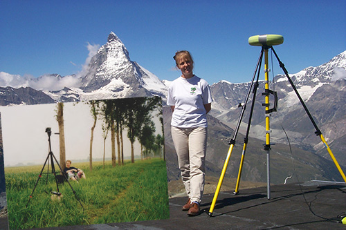
Computational power continues to increase at a rapid pace and unlike other areas of technology, this trend is not expected to slow down in the foreseeable future. Software GNSS receivers fully exploit these developments to steadily increase performance.

Read More >

By Inside GNSS

Playing by the Rules of World Trade Law

The availability of several GNSSes promises advanced positioning, navigation, and timing services with higher availability and improved accuracy. According to a European GNSS Agency (GSA) market study, nearly 60 percent of receivers, chipsets, and modules already support at least two GNSS constellations, showing that multi-constellation is becoming a standard feature across all market segments. That development brings up questions of law and regulation that require careful handling by GNSS manufacturers, service providers, and policy makers.

Read More >

By Ingo Baumann
[uam_ad id="183541"]

Software-Defined GNSS Simulator: A Step Forward

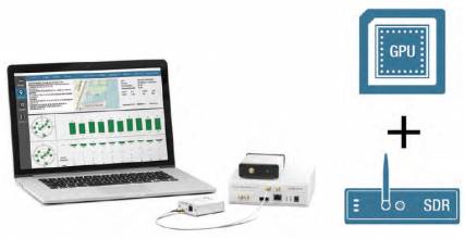
A few studies (by universities and industry) have shown the feasibility of simulation of real-time digital intermediate frequency (IF) signals based on a graphics processor unit (GPU). And a couple of articles have also demonstrated use of a universal software radio peripheral (USRP)–based software-defined radio (SDR) as a simulator (in playback mode) in real test environments.

Read More >

By Inside GNSS

First Position Fix with IRNSS

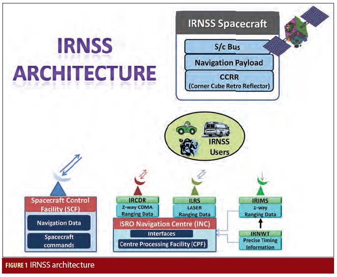
Figure 1

The Indian Regional Navigation Satellite System (IRNSS) is an Indian Space Research Organisation (ISRO) initiative to build an independent satellite navigation system that provides precise position, velocity, and time (PVT) to users across the Indian region.

The primary objective of IRNSS is to achieve position accuracy of 20 meters (2σ) for dual-frequency users over India and the primary service area (a region extending to about 1,500 kilometers or 930 miles).

Read More >

By Inside GNSS
[uam_ad id="183541"]
1 16 17 18 19 20 66
IGM_e-news_subscribe