August 19, 2014
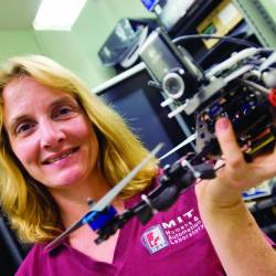
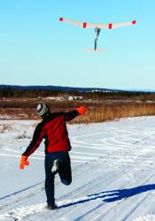
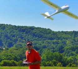 David Schmale, an associate professor in the College of Agriculture and Life Sciences at Virginia Tech uses unmanned aircraft to take samples of microbes that populate clouds.
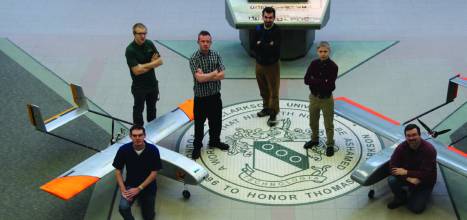
1. The Team
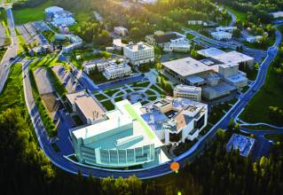
The Mid-Atlantic Aviation Partnership, led by Virginia Tech, is the combined effort of Virginia, Maryland and New Jersey.
2. Research Centers
Virginia Tech, University of Maryland, Rutgers University, National Institute of Aerospace, Liberty University, New Jersey Institute of Technology, Rowan University, The Richard Stockton College of NJ, Virginia State University.
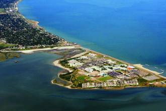
3. Test Ranges
Read More >
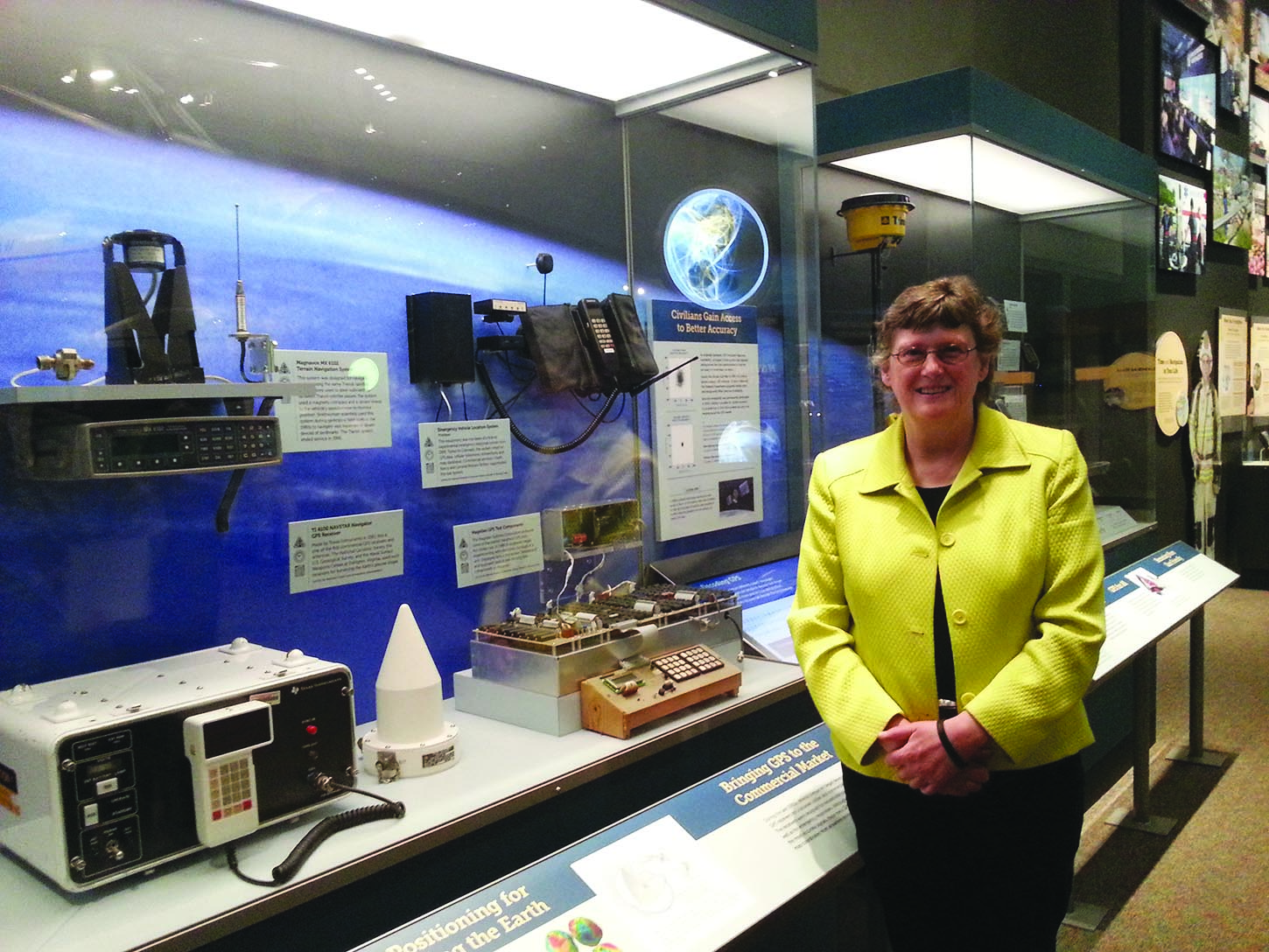
By Inside GNSS