June 18, 2012
Leica Geosystems and Locata Extend Technology Partnership
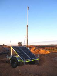
Leica Geosystems Mining and Locata Corporation will continue their exclusive technology partnership in the mine machine automation and mine fleet management markets until at least June 2014. The extension guarantees the ongoing, commercial provision to the global mining industry of the Leica Jigsaw Positioning System (Jps), powered by Locata technology.
By Inside GNSS