Jade Morton: The Long and Scintillating Road
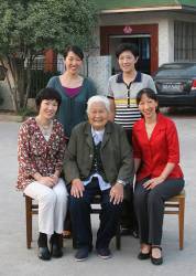
Jade Morton, in the front row at the right, with her sisters and grandmother
>>Jade Morton’s Compass Points
Yu — or Jade, in English — Morton is an electrical engineer, a professor at Colorado State University (bound for the University of Colorado Boulder in 2017), and a shining star in the world of GNSS. She left work for eight years to be a full-time mother, then returned to a university professorship and high-level research, where she has been recognized for her work on ionospheric effects on global navigation satellite systems.
By Inside GNSS