March 25, 2015
Cutting Edge Applications of Unmanned Systems
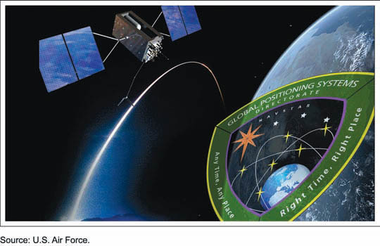
The incorporation of GNSS and inertial technologies is helping drive an explosion of systems development and applications of unmanned systems. On Tuesday, September 29, Inside GNSS and NovAtel presented a 90-minute web seminar showcasing some of these applications, including the use of remote sensing technologies to assess pest populations in commercial crops and to conduct infrastructure inspections, with the aid of air and ground vehicles.
By Inside GNSS