NASA Breaks Guinness World Record for Highest GPS Altitude Fix
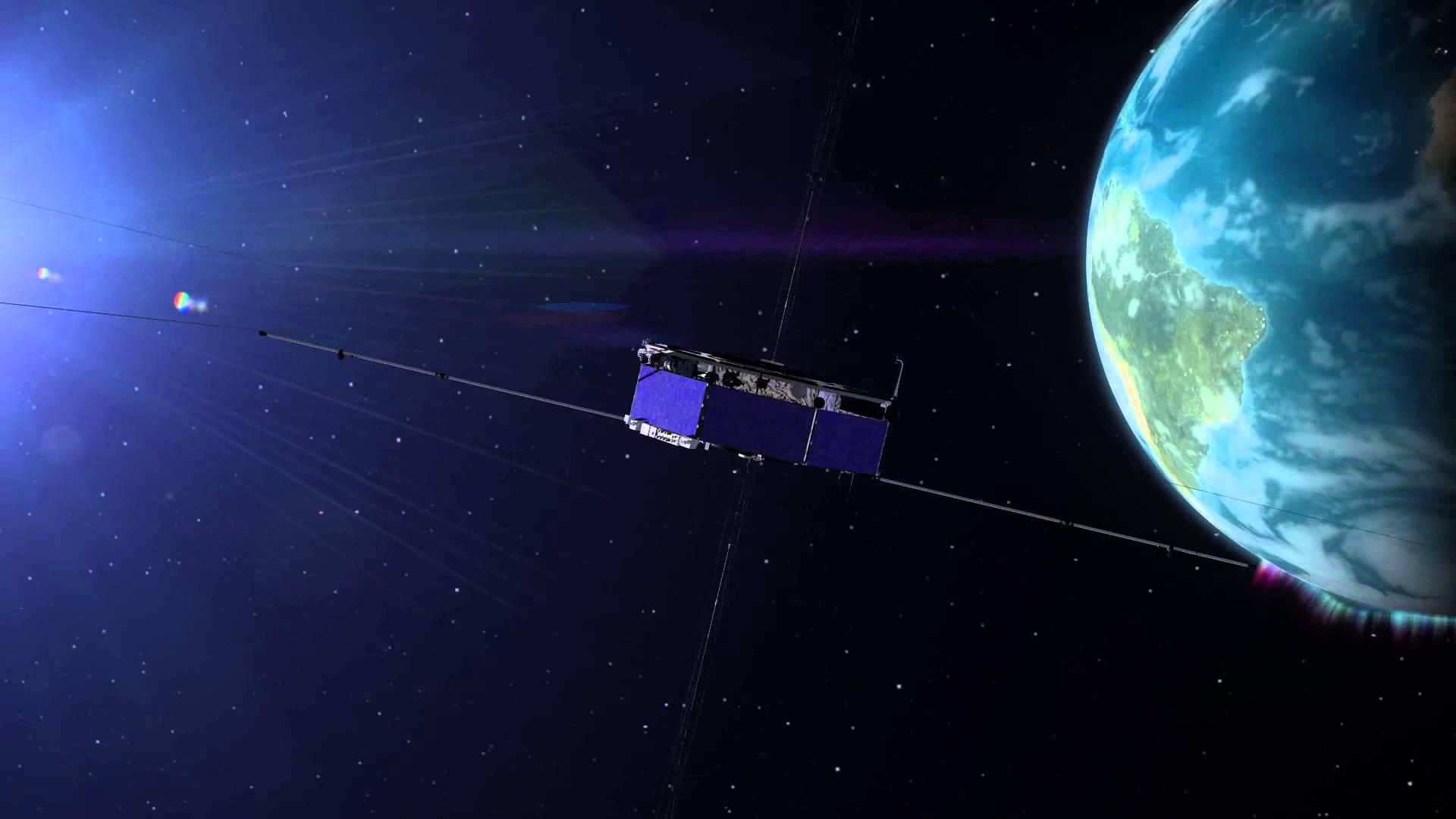
NASA’s Magnetospheric Multiscale (MMS) mission broke the Guinness World Record for highest altitude fix of a GPS signal, the agency announced this week. The MMS satellites, operating in a highly elliptical orbit, set the record at 43,500 miles above the Earth.
The four MMS satellites incorporate GPS measurements into their tracking systems for position and orbit calculations to guide tight formations, NASA said.
By Inside GNSS