Global Navigation Satellite Systems Engineering, Policy, and Design
Global Navigation Satellite Systems Engineering, Policy, and Design
Tallysman Wireless Inc., a manufacturer of precision GNSS antennas and related components, has been acquired by Calian Group Ltd, a publicly owned Canadian…
By Inside GNSS
The high-accuracy tactical-grade STIM277H Gyro module and STIM377H Inertial Measurement Unit are based on experiences and requirements from serving customers in the space…
By Inside GNSS

Market-leading SPAN technology from Hexagon | NovAtel delivers precise positioning, attitude, velocity and heave measurements. Hexagon | VERIPOS is proud to introduce SPAN…
By Inside GNSS

Autonomy has become the new goal of off-road machine control. Collaboration between NovAtel and AutonomouStuff, both part of Hexagon, has produced sensing and…
By Inside GNSS

GMV Innovating Solutions Limited, the UK aerospace company belonging to the Spanish technology multinational GMV, has signed a merger agreement with Nottingham Scientific…
By Inside GNSS

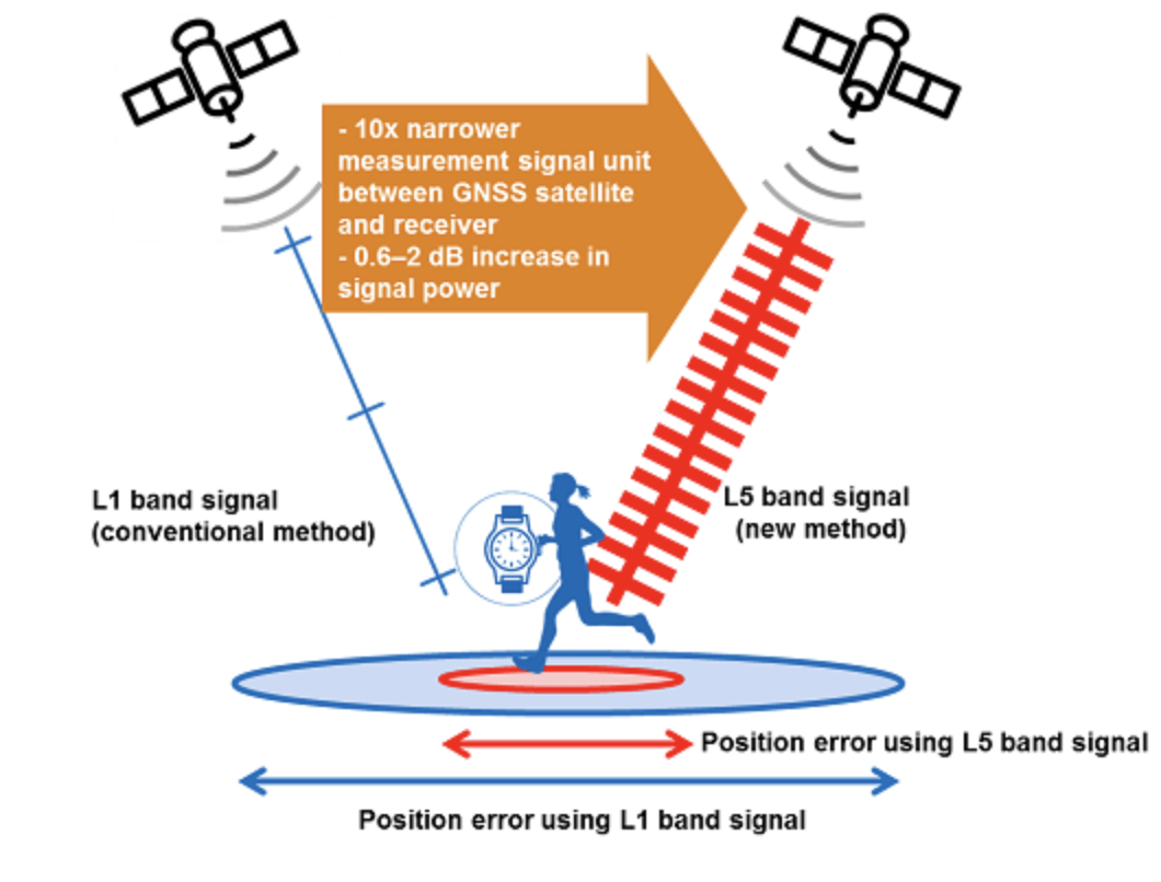
Sony Corporation announced the upcoming release of GNSS receiver large-scale integrations (LSIs) for use in IoT and wearable devices. The new receiver LSIs…
By Inside GNSS
The #MyGalileoSolution contest for European innovators and entrepreneurs ready to develop location-based solutions has gotten underway.
By Inside GNSS
The launch of a GLONASS constellation next-generation K satellite is scheduled for October, announced Nikolai Testoyedov, general director of the Reshetnev Information Satellite…
By Inside GNSS
Power-packed Autonomous Week, September 9–11, swings into action with an awesome Day One, Wednesday, September 9 session on the use of drones in…
By Inside GNSS

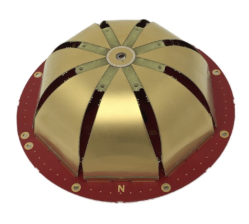
Tallysman Wireless announces a new line of AccuAuto antennas designed for autonomous vehicles, among other applications, to provide strong clean code and phase…
By Inside GNSS
The family eagerly climbed into the sparkling latest-model SUV and drove off the lot for a test cruise around town. With pent-up demand…
By Inside GNSS

The digital outputs of a four-channel antenna processing chain consisting of a four-element squared phased array and a 4-coherent channels front-end are processed…
By Inside GNSS

An extensive and significant body of technical information on inertial navigation, including detailed instruction, technical papers and use cases, has appeared online. This…
By Inside GNSS
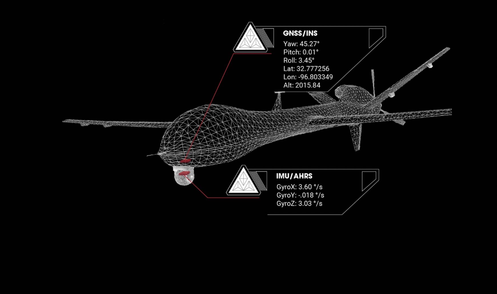
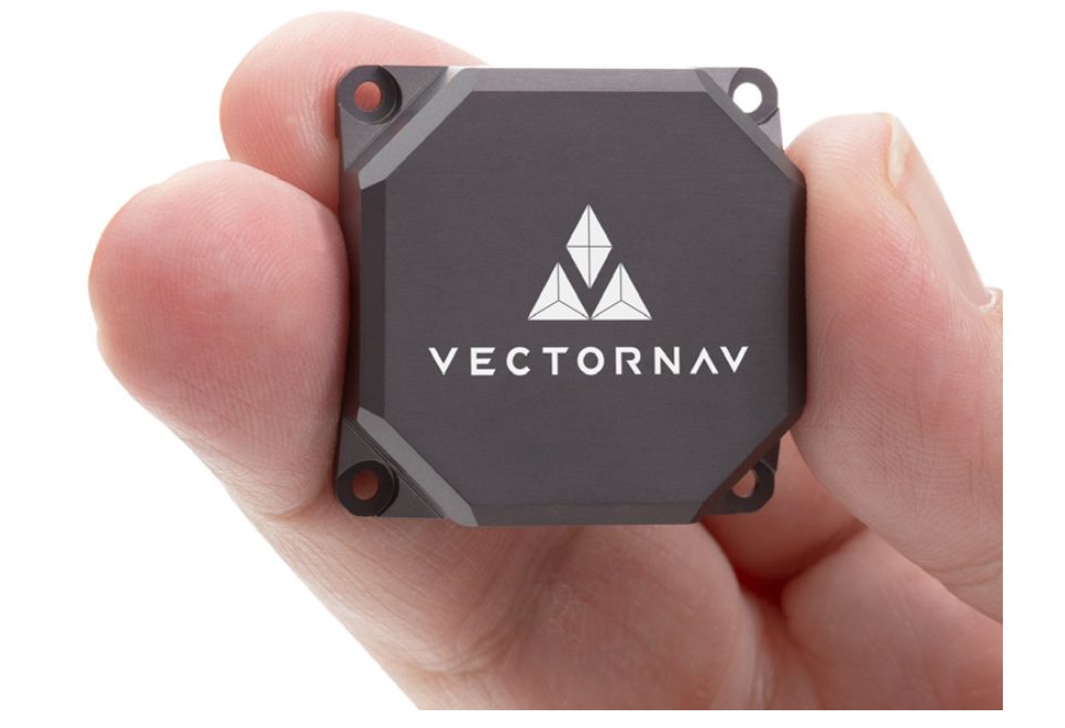
VectorNav Technologies, the world leader in embedded navigation solutions, introduced today a groundbreaking new line of inertial products: the VectorNav Tactical Embedded. Featuring…
By Inside GNSS
The United Arab Emirates will launch a navigation satellite in 2021, according to the Emirates News Agency. “The first satellite will be launched…
By Inside GNSS