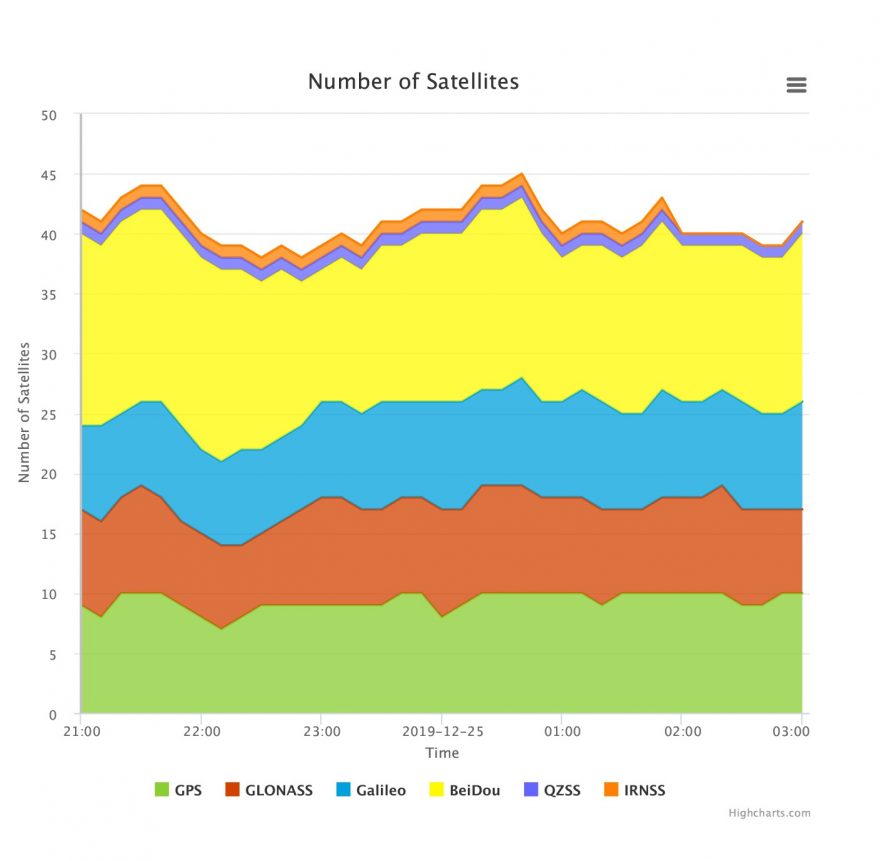
In lead position on a sleigh rising from the North Pole to a height of 200 meters — standard cruising altitude for global package delivery — at 2100 hours UTC on December 24 — the youngest will hopefully be asleep by then and there’s plenty of territory to cover before dawn breaks, time’s a-wasting — navigator Rudolph will see between 40 and 45 GNSS satellites glistening in the night sky.
As colleagues and co-navigators Dasher and Dancer will surely point out, more BeiDou than GPS satellites will be in view during most of the next six hours. Hurry, Santa!
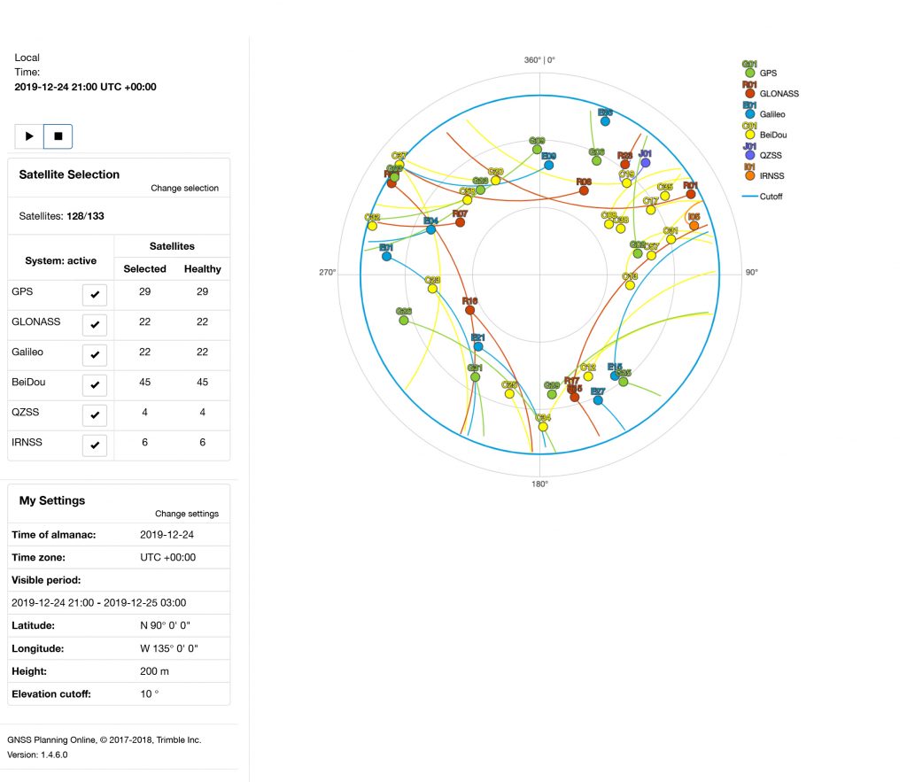
Further back in the rein line, Prancer and Vixen will carry out additional computations to show a sky plot. Here, GLONASS may take the lead in terms of highest-in-sky in extreme northern latitudes.
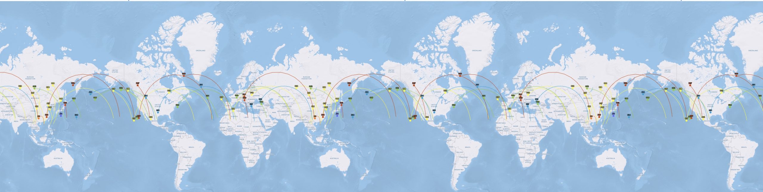
Finally, the power-chain team of Comet, Cupid, Donner and Blitzen will grunt and bark that those in front should pay more attention to the world view, because, brother, we’ve got a long way to go tonight!