A Danish company, NaviBlind ApS, develops products that help blind and visually impaired people get around outdoors, enabling them to orient themselves and navigate in new and changing urban environments.
The NaviBlind solution comprises a smartphone application and a wearable GNSS device, which together eliminate some of the challenges around exploring and remembering new routes.
With the smartphone app, users can request, store and navigate private and public routes. Actual position is determined by the GNSS device when they start navigation, and they are then guided to their destination in real-time, with detailed vocal commands. Users need to request the navigation instructions in advance. The system delivers tailored and precise instructions within 72 hours of their being requested.
The company’s first navigation aid, released in 2021, was developed in collaboration with blind and visually impaired participants. The company recently developed new route management software with support from the European Space Agency’s NAVISP funding program. The new software creates computer-generated routes based on detailed and precise pedestrian mapping data.
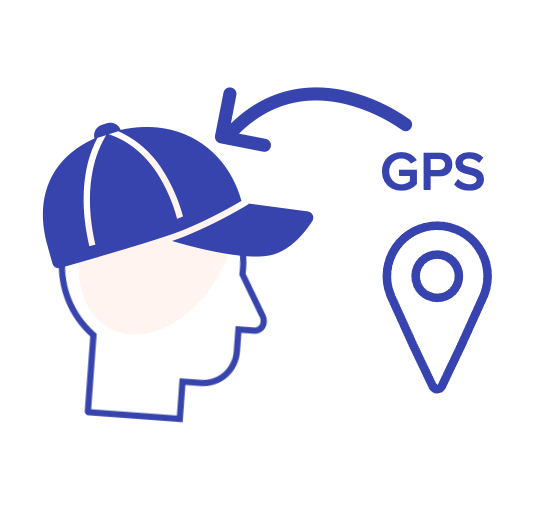
Under the NAVISP project, NaviBlind also developed a new method for producing that mapping data, along with a new, true wireless version of its wearable NaviCap, essentially a baseball cap with an embedded GNSS device. The improved NaviCap now delivers decimeter-level positioning accuracy to the mobile app with increased reliability through the use of novel antenna technologies.
New freedom for the blind and visually impaired
NaviBlind empowers blind people with the ability to walk to new and unfamiliar destinations safely, autonomously and at any time. The NAVISP-funded project achieved some notable technical milestones, including the development of a method for the analysis and processing of aerial imagery and a semi-automated method to extract sidewalk and path data from open-source data. The project also developed a semi-automated route creation algorithm, and, finally, the new GNSS hardware was successfully tested.
At a recent presentation of the results of the NAVISP-funded project, NaviBlind representatives said there is still room to improve the NaviCap wearable device, including, for example through the use of different RTK providers and technologies to reduce user waiting times. They also hope to investigate the use of other sensor-based solutions , e.eg. camera, computer vision and LiDAR.


