
Hexagon | NovAtel has released the new MarinePak7 GNSS+inertial receiver that delivers precise positioning and timing for demanding nearshore marine applications. It is certified for the marine environment and designed for hydrographic survey, marine construction and nearshore renewable energy operations.
The product combines multi-GNSS positioning with GNSS+INS SPAN technology to measure heading, velocity, attitude and heave. The multi-constellation (GPS, GLONASS, BeiDou, Galileo and QZSS signals), multi-frequency receiver was built to receive Oceanix Correction Services from NovAtel for horizontal accuracy up to three centimeters (95%).
MarinePak7 was developed with decades of experience in harsh maritime environments to deliver a complete 3D understanding of position for diverse marine applications, including:
- Precise and cost-effective dredging systems for port operations and waterways
- Hydrographic survey systems for commercial and research mapping of the ocean floor
- Relative positioning and heading information for barge, vessel positioning and automatic docking systems.
It is capable of PPP or RTK positioning.
The nearshore marine environment brings many positioning challenges. From strong currents and rugged coastlines to narrow passageways and high winds, nearshore applications require absolute precision from their GNSS solutions.
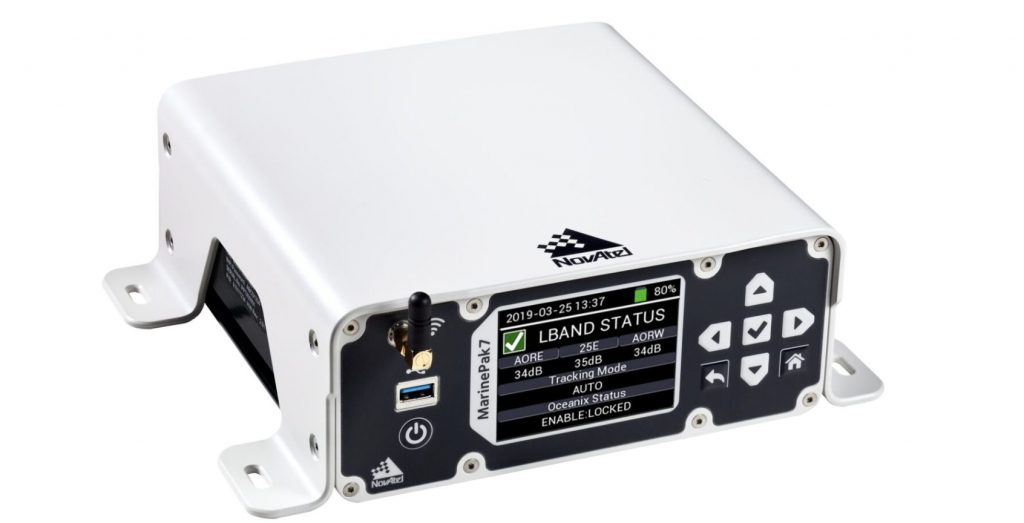
The receiver features an intuitive user interface that reduces training and setup time. It supports multi-constellation GNSS signals and RTK corrections transmitted via mobile phone networks and MSK Beacon corrections. Combined with SPAN GNSS+INS technology for attitude and heave measurements, the receiver delivers a robust, reliable and assured position at sea.
Several optional features are available, including GNSS heading, interference mitigation and UHF radio corrections. Users can add a removable battery to make the MarinePak7 a completely portable solution. With the battery, the marine receiver continues to operate when no direct power source is available and during periods of power loss.
Multiple GNSS signals deliver better satellite availability and reduce the impact of satellite masking or blockage which can affect positioning. It also receives L-Band signals on multiple channels providing access to the world-wide corrections provided by Oceanix. Users can also connect to the receiver using the on-board Wi-Fi and use the Web UI to configure and monitor the system.
GNSS+INS integration
SPAN GNSS+INS technology combines GNSS positioning with inertial navigation system (INS) measurements including velocity, attitude and heave. In a solution optimized for hydrographic survey applications, the 3D positioning provides accurate measurements even through extended GNSS outages.
Scalable solution
As requirements change, the MarinePak7 provides a scalable solution to enable additional features when needed. ALIGN technology by NovAtel is optionally supported when combined with a second antenna to provide a GNSS heading solution. The UHF model can be used as a data link to receive RTK corrections which can also be received via the GSM/GPRS modem. For more demanding applications, data logged on the receiver can be downloaded for post-processing using NovAtel’s GrafNav software.
Maximum accuracy
The MarinePak7 can provide a range of performance accuracies from single-frequency DGPS using MSK Beacon for safe navigation of vessels to full centimeter-level RTK for marine construction activities. Oceanix Nearshore correction service provides centimeter-level accuracy using globally transmitted corrections.
Designed for marine operations
This receiver is designed specifically for marine professionals requiring safe navigation for vessels or high-accuracy positioning. Markets include nearshore hydrographic survey, dredging, marine construction and vessels working in the renewables industry.


