November 17, 2014
Reliable GPS-Based Timing for Power Systems
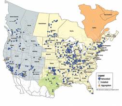
Efficient power transmission and distribution would benefit from synchronized near–real-time measurements of voltage and current phasors at widely dispersed locations in an electric power grid. Such measurements also could enable effective real-time system monitoring and control, which are considered to be the key to preventing wide-scale cascading outages like the 2003 Northeast Blackout.
By Inside GNSS