Survey and Mapping Archives - Page 21 of 27 - Inside GNSS - Global Navigation Satellite Systems Engineering, Policy, and Design

Survey and Mapping

August 14, 2010

Map Africa 2010

Map Africa 2010 conference and exhibition will take place at the Cape Town International Convention Centre (CTICC) in the center of Cape Town, South Africa on November 23-25, 2010.

The theme is "Geospatial Readiness for Building Africa." The conference will focus on the most pressing areas that contribute to the nation’s growth, such as infrastructure and utilities, cadastral mapping, land information management system (LIS), land policies, mining and exploration and emergency management.

Read More >

By Inside GNSS
July 30, 2010

China’s BeiDou Nav Satellite System to Cover the World in 2020

[Reprinted with permission NAVIBIZ, Issue Date: 2010-6-7]

China is building up its global satellite navigation system BeiDou (COMPASS) that is intended to cover the world by 2020. That’s the word from the country’s first Satellite Navigation Conference, in Beijing. Developed and operated by China, BeiDou is designed to provide accurate real-time military and civil service to national security, social and economic development.

Read More >

By Inside GNSS
July 27, 2010

GNSS Simulators

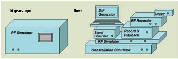
FIGURE 1: GNSS multi-channel signal simulator 10 years ago on its own (left) and with its ever-growing family (right)

For the complete story, including figures, graphs, and images, please download the PDF of the article, above.

In this article we describe the design and operation of a generic GNSS RF simulator. We also will look at the main types of GNSS RF simulators, their designs and specifics, their advantages and disadvantages.

Read More >

By Inside GNSS
[uam_ad id="183541"]

Help from Above

During flight testing, Boeing technical personnel have historically used a differential GPS (DGPS) system as the position truth reference for validating various production systems on the airplane. The majority of those tests occur on or near remote runways to capture specific environmental conditions.

Read More >

By Inside GNSS
July 22, 2010

Topcon Promotes O’Connor to Managing Executive Officer

Ray O’Connor, Topcon Positioning Systems

Topcon Corporation has announced the promotion of Ray O’Connor to managing executive officer for the company.  

O’Connor is president and CEO of Topcon Positioning Systems (TPS), based in Livermore, California, and chairman of the board of Topcon Europe Positioning. He will continue to fill these and other positions within the corporation while taking on additional managerial oversight of various corporate projects and initiatives.

Read More >

By Inside GNSS
July 19, 2010

Air Force Investigating Residuals in GPS IIF Signals

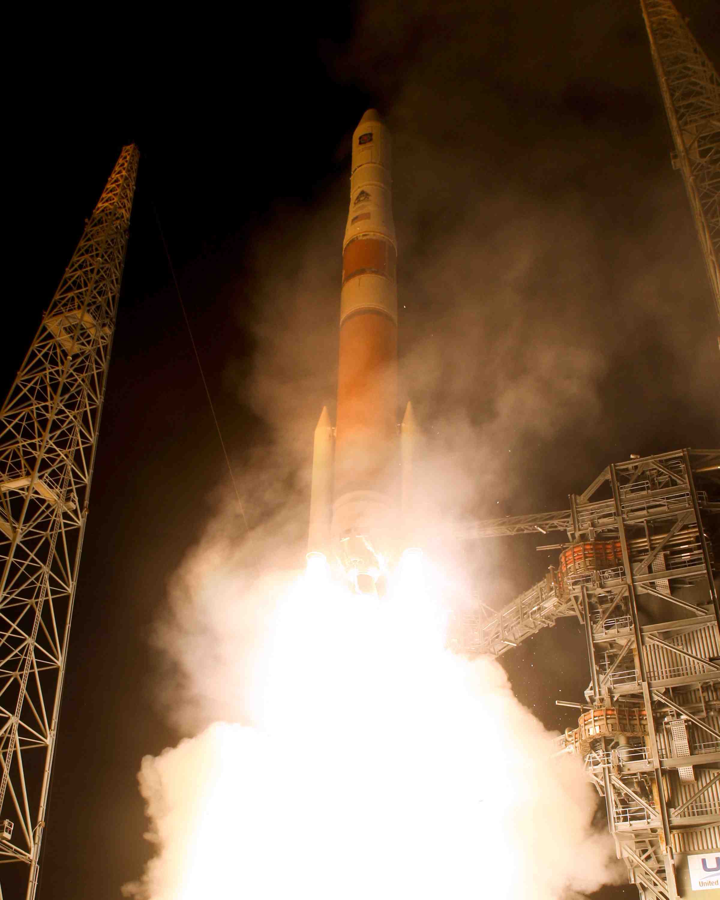
GPS IIF-SV1 launch. United Launch Alliance photo

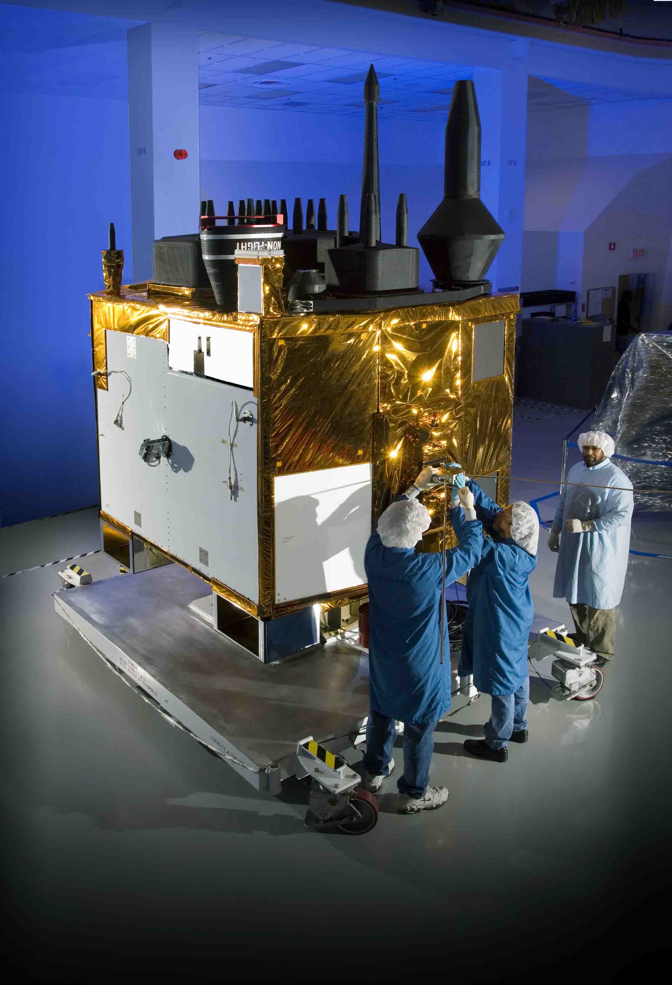
[Updated July 22, 2010] Air Force officials at the GPS Wing have confirmed that higher-the-expected range residuals detected by researchers at the German Aerospace Center (DLR) are appearing in signals transmitted by the first GPS IIF satellite, designated SVN/62/PRN25.

But the Air Force and Boeing Space and Intelligence Systems, which built the spacecraft, point out SVN62 is currently performing within specifications, and the signal phenomenon does not appear likely to have any significant effect on GPS positioning when the satellite is declared operational.

Read More >

By Inside GNSS
[uam_ad id="183541"]
May 31, 2010

Binghao Li

Binghao Li is a research associate in the School of Surveying and Spatial Information Systems, The University of New South Wales, Sydney, Australia.

Li obtained the B.Sc. in electrical & mechanical engineering from Northern Jiaotong University, P.R. China and the M.Sc. in civil engineering from Tsinghua University, P.R. China.

He received his Ph.D. from the University of New South Wales, Sydney, Australia. His research areas include pedestrian navigation, new positioning technologies, and network-RTK.

Read More >

By Inside GNSS

Death of a Russian Engineer

Stas Sila-Novitsky (left) and Javad Ashjaee. Photo by Marc Cheves, American Surveyor

Very sad news from Moscow. Earlier this month, Stanislav Sila-Novitsky — Stas to his friends and colleagues — died unexpectedly after a short illness.

A member of the executive staff of Javad GNSS, Sila-Novitsky had a long career in space electronics engineering. During the Soviet era, he was the department head with the Russian Space Agency’s Institute of Space Device Engineering, which was responsible for the development of the overall GLONASS system electronics.

Read More >

By Inside GNSS
April 10, 2010

GNSS Opportunities Help Drive UK to Set Up National Space Agency

British Prime Minister Gordon Brown visits the Geospatial Building at the University of Nottingham. Photo courtesy of GRACE

(This article first appeared in the March 31 Inside GNSS SIGNALS eNewsletter)

Driven in part by a prestigious Space Innovation and Growth Strategy (Space IGS) report suggesting that the nation has lost both the best industrial work and the ability to influence programs such as Galileo, the United Kingdom will establish a new national space agency on April 1.

Read More >

By Inside GNSS
February 24, 2010

2010 International Symposium on GPS/GNSS

The theme of the 2010 International Symposium on GPS/GNSS is "At a Turning Point." It will take place at Howard International House in Taipei, Taiwan on October 26-28.

National Cheng Kung University is organizing and hosting the event. The symposium will be held in English.

The annual forum is open to innovative ideas on GNSS systems, techniques, applications and opportunities by researchers and engineers from academia and industry.

Read More >

By Inside GNSS
February 15, 2010

Wide-Area RTK

A common assumption in real-time kinematic (RTK) techniques is that the differential ionospheric delay between a GNSS transmitter and each of the roving or reference receivers is negligible. However, increased position uncertainty — spatial decorrelation — is usually allocated to the baseline receivers as baseline distances increase.

A refinement of this assumption comes with the network RTK (NRTK) using a set of permanent receivers to mitigate atmospheric dependent effects, such as the ionospheric delay, over distance.

Read More >

By
January 29, 2010

Septentrio Announces AsteRx3 Multi-GNSS Receiver

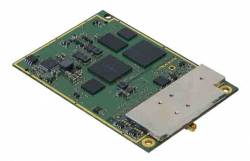
AsteRx3 Receiver from Septentrio

Septentrio has launched the AsteRx3, a compact multi-frequency GPS/GLONASS/Galileo and Compass/Beidou-ready receiver.

AsteRx3 is specially designed for integration in demanding precision positioning, navigation, and automation applications such as land and maritime survey, machine control, and unmanned aerial vehicle (UAV) payloads.

Read More >

By Inside GNSS
1 19 20 21 22 23 27
IGM_e-news_subscribe