Optional Categories Archives - Page 4 of 28 - Inside GNSS - Global Navigation Satellite Systems Engineering, Policy, and Design

Optional Categories

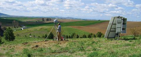
Environmental Sensing

In the past 20 years GPS has simultaneously revolutionized both our modern infrastructure (by providing real-time navigation, mapping, and timing support) and our geodetic/surveying capabilities (by providing millimeter/centimeter-level positioning). At this point, most of the GNSS innovations we expect to see in the next decade will come from calculating positions more accurately and faster, while expanding from GPS to use of all available GNSS signals.

Read More >

By Inside GNSS
GPS Receiver Performance On Board a LEO Satellite

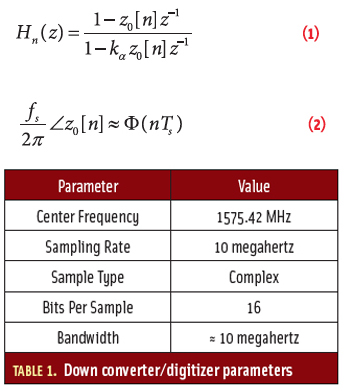
Equation 1

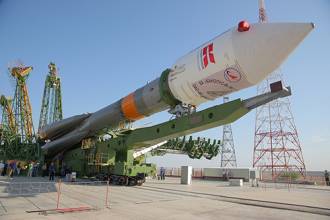
The small satellite “Technologie-Erprobungs-Träger 1” (TET-1) is the first spacecraft developed for the German Aerospace Center (DLR) On-Orbit-Verification (OOV) program, which provides flight opportunities dedicated to testing and qualification of new technologies in space. The satellite was lifted into a low-Earth orbit (LEO) on July 22, 2012, from the launch site in Baikonur, Kazakhstan.

Read More >

By Inside GNSS
[uam_ad id="183541"]

GNSS Hotspots | March 2014

One of 12 magnetograms recorded at Greenwich Observatory during the Great Geomagnetic Storm of 1859
1996 soccer game in the Midwest, (Rick Dikeman image)
Nouméa ground station after the flood
A pencil and a coffee cup show the size of NASA’s teeny tiny PhoneSat
Bonus Hotspot: Naro Tartaruga AUV
Pacific lamprey spawning (photo by Jeremy Monroe, Fresh Waters Illustrated)
“Return of the Bucentaurn to the Molo on Ascension Day”, by (Giovanni Antonio Canal) Canaletto
The U.S. Naval Observatory Alternate Master Clock at 2nd Space Operations Squadron, Schriever AFB in Colorado. This photo was taken in January, 2006 during the addition of a leap second. The USNO master clocks control GPS timing. They are accurate to within one second every 20 million years (Satellites are so picky! Humans, on the other hand, just want to know if we’re too late for lunch) USAF photo by A1C Jason Ridder.
Detail of Compass/ BeiDou2 system diagram
Hotspot 6: Beluga A300 600ST

1. WHAT’S LOVE GOT TO DO WITH IT? 
Detroit, Michigan USA 

Read More >

By Inside GNSS

GPS Modernization Stalls

With the optimism of college-bound seniors touring the Ivy League, GPS managers have been weighing options to dramatically change the GPS constellation. Now, after studying the costs, considering the benefits, and assessing the funding climate, officials have made the starkly fiscal decision to stick close to home and take a few extra years to finish. 

Read More >

By Dee Ann Divis

New GNSS Signals

A. J. Van Dierendonck

The world’s GNSS systems are entering a phase of transformation — modernization of existing systems (the U.S. Global Positioning System and Russia’s GLONASS) and development of new systems (China’s BeiDou and Europe’s Galileo) that benefit from the lessons learned from the original GNSSs.

Notable among the modernization initiatives is an interest in implementing new satellite signal designs. These include the GPS L5, L2C, and L1C signals as well as those signals designed for Galileo and BeiDou. GLONASS designers are also working on modernized signals.

Read More >

By Inside GNSS
[uam_ad id="183541"]
June 18, 2013

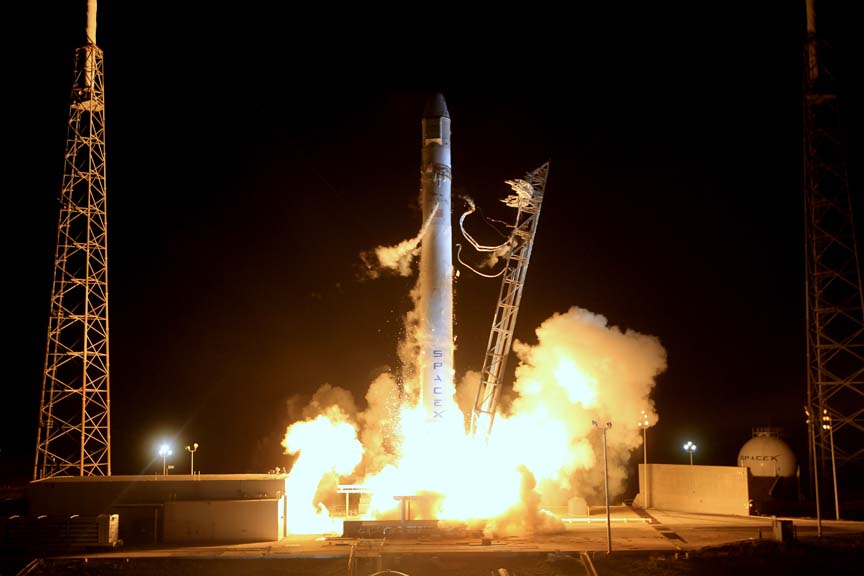
SMC Signs CRADA to Certify SpaceX Falcon Launcher

The Space and Missile Systems Center (SMC) at Los Angeles Air Force Base, California, has signed a cooperative research and development agreement (CRADA) with Space Exploration Technologies Corp., better known as SpaceX, to certify the company’s Falcon launcher for future National Security Space (NSS) missions.

Read More >

By Dee Ann Divis
May 2, 2013

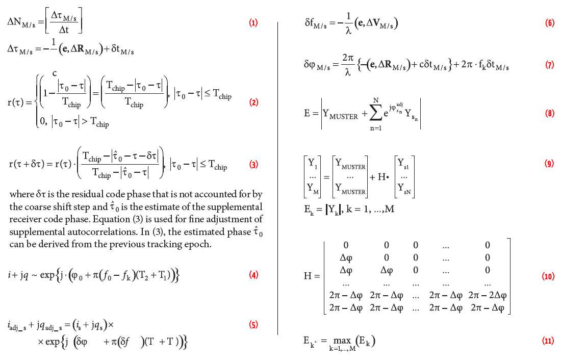
MUSTER

Existing methods for improving the GNSS performance commonly attempt to enhance the signal processing and navigation estimation parts of a single receiver. Such approaches, however, leave unexplored the potential benefits inherent to the integration of data from multiple receivers.

Read More >

By Inside GNSS
IGM_e-news_subscribe