satellites/space segment

April 1, 2017

Would you prefer to have more signals or more satellites?

Q: Would you prefer to have more signals or more satellites?

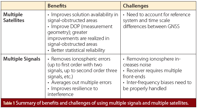
A: This is somewhat of a classic GNSS question, but before getting to the answer, let’s seek some clarity about what is being asked. First, by definition, “more” signals or “more” systems must be referenced against some baseline configuration. This is commonly assumed to be a GPS L1 C/A solution, and this assumption is also used herein.

Read More >

By Inside GNSS
December 27, 2016

Air Force Continues to Test GPS III Satellite

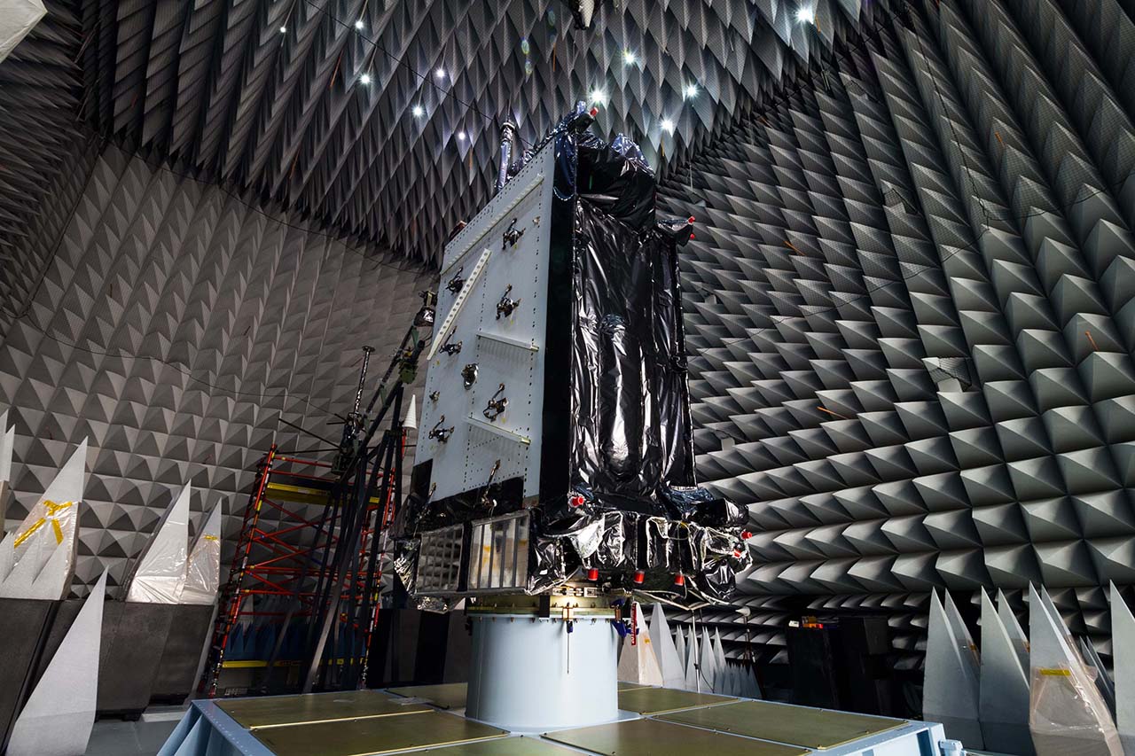
GPS III satellites in production. Image Source: Lockheed Martin.

The U.S. Air Force Space and Missile Systems Center (SMC) says it continues to work on GPS III ceramic capacitor testing and plans to have an updated launch schedule published late next month.

As Inside GNSS reported, the first GPS III satellite’s delivery, originally scheduled for August, was delayed by four months because of a Lockheed Martin subcontractor’s failure to test a ceramic capacitor.

Read More >

By Inside GNSS
[uam_ad id="183541"]
December 15, 2016

NASA Launches CYGNSS Space-Based Hurricane Watch

NASA successfully launched eight Cyclone Global Navigation Satellite System (CYGNSS) microsatellites this morning (December 15, 2016) from Cape Canaveral Air Force Station in Florida.

The CYGNSS spacecraft rode into orbit onboard an Orbital ATK air-launched Pegasus XL rocket. Orbital ATK’s modified L-1011 aircraft deployed the Pegasus XL and its CYNGSS payload at 39,000 feet, the agency said.

Read More >

By Inside GNSS
December 13, 2016

Air Force Approves Lockheed Martin’s GPS Ground Control Design

GPS III satellites in production. Image Source: Lockheed Martin.

The U.S. Air Force has approved Lockheed Martin’s current GPS satellite ground control system upgrade to enable it to operate with more powerful and accurate GPS III satellites, the company said.

The Air Force’s Critical Design Review (CDR) for the Contingency Operations (COps) contract, completed on November 17, allows Lockheed Martin to proceed with the modification of the existing Architecture Evolution Plan (AEP) Operational Control Segment. The AEP, maintained by Lockheed Martin, controls the 31 GPS IIR, IIR-M and IIF satellites in orbit.

Read More >

By Inside GNSS
December 8, 2016

Two More Galileo Satellites Transmitting Navigation Signals

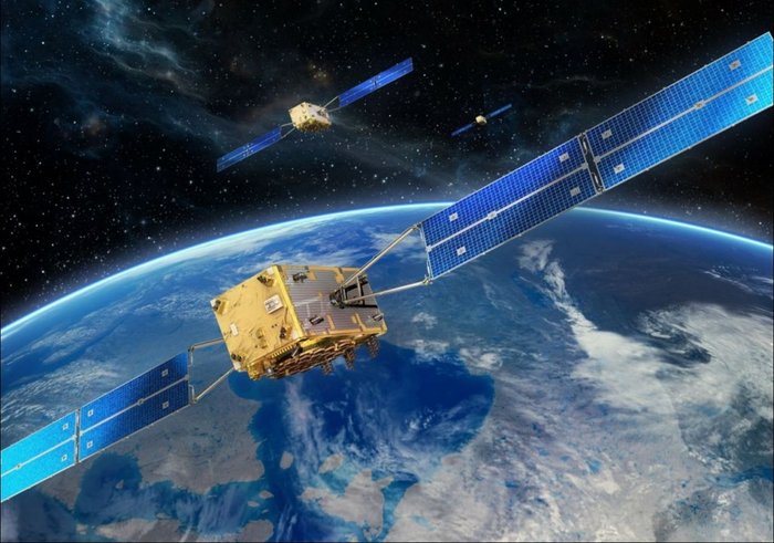
After months of testing, the European Space Agency (ESA) has announced that Galileo satellites 13 and 14 are transmitting healthy navigation signals and ready to relay distress calls to emergency services.

The satellites, launched from Europe’s Spaceport in French Guiana on May 24, went through lengthy testing that included receiving and uplinking signals through specialized antennas, ESA said. Some of the tests included navigation and search and rescue payloads methodically switched on, the agency said.

Read More >

By Inside GNSS
November 16, 2016

NASA to Launch Satellite-Based GNSS Hurricane Watch

NASA plans to launch the Cyclone GNSS (CYGNSS) hurricane mission aboard a Pegasus XL rocket on December 12 from Cape Canaveral Air Force Station in Florida. CYGNSS, which is NASA’s first Earth science small-satellite constellation, will help improve hurricane intensity, tracking, and storm surge forecasts, the agency said.

Read More >

By Inside GNSS
[uam_ad id="183541"]

NOAA Expands GNSS Data Sources for Weather Prediction

The National Oceanic and Atmospheric Administration (NOAA) will purchase data from small commercial satellites to expand its GNSS radio occultation (RO) efforts to better predict weather.

In September NOAA, through the government’s Commercial Weather Data Pilot program, awarded contracts to San Francisco, California-based Spire Global ($370,000) and GeoOptics ($695,000), of Pasadena, California, to provide RO data. This data will be used to assess whether commercially provided information can be incorporated into the agency’s weather models.

Read More >

By Inside GNSS

NASA Breaks Guinness World Record for Highest GPS Altitude Fix

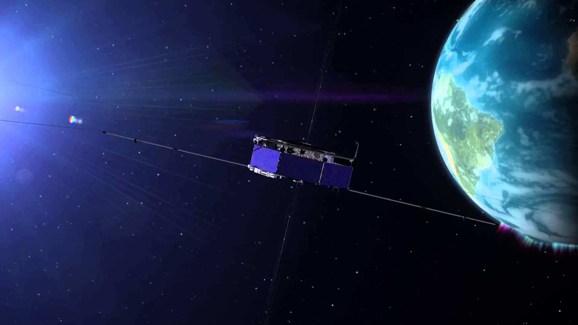
NASA’s Magnetospheric Multiscale (MMS) mission broke the Guinness World Record for highest altitude fix of a GPS signal, the agency announced this week. The MMS satellites, operating in a highly elliptical orbit, set the record at 43,500 miles above the Earth.

The four MMS satellites incorporate GPS measurements into their tracking systems for position and orbit calculations to guide tight formations, NASA said.

Read More >

By Inside GNSS
November 13, 2016

Navigating in Space

Figures 1 & 2

Spacecraft in low Earth orbit (LEO), at altitudes below 3,000 kilometers, remain within the main Global Positioning System (GPS) signals’ Earth coverage. Spacecraft employing GPS at these altitudes enjoy signal availability and navigation and timing performance emulating that of terrestrial users.

Read More >

By Inside GNSS
May 19, 2016

Military GPS Receiver Advances Could Help Trim Satellite Costs

Advanced military receivers using the sort of modern multi-channel, multi-constellation capabilities already available commercially, could enable the Air Force to focus its anti-jam efforts on the ground, simplifying future GPS satellites and lowering their cost. Moreover, experts told Inside GNSS, the cutting-edge receivers could be deployed years before the anti-jam capability planned for the new GPS III satellites would be fully available.

Read More >

By Dee Ann Divis
March 27, 2016

Galileo & EGNOS Evolution

Prof. Dr. Günter Hein

A global navigation satellite system seems like such solid thing, like the pyramids, perhaps, or a mountain. Permanent, fixed, immutable.

Nor is this surprising. After all, GNSS distinguishes itself from many other technologies of the moment by its grounding in a large and widespread infrastructure: a master control station, launch facilities, far-flung monitoring stations, the space segment with dozens of massive satellites that can operate 20 years or more as did a recently retired GPS Block IIA spacecraft.

Read More >

By Günter W. Hein
1 2 3 23
IGM_e-news_subscribe