Scientific and Fundamental Aspects of the Galileo Program
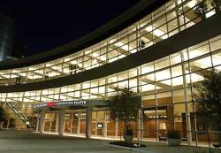
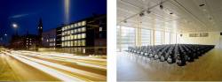
The third international colloquium on scientific and fundamental aspects of the Galileo program will take place at the Danish Design Center in Copenhagen, Denmark from August 31-September 2, 2011.
The deadline for receiving paper abstracts has been extended until April 15, 2011 and may be submitted online.