military Archives - Page 4 of 11 - Inside GNSS - Global Navigation Satellite Systems Engineering, Policy, and Design

military

NovAtel, Interstate Electronics Team on SAASM RTK Receiver Board

NovAtel Inc. today (May 30, 2012) announced the development of their OEM625S Selective Availability/Anti-Spoofing Module (SAASM) GNSS receiver, the first product emerging from a collaborative effort with L-3 Interstate Electronics Corporation (IEC).

The OEM625S, which becomes available for purchase in the third quarter of this year, will combine a commercial dual-frequency NovAtel GNSS receiver with an L-3 IEC XFACTOR SAASM in a single card solution, reducing overall size and power requirements for end customer applications.

Read More >

By Inside GNSS
May 24, 2012

Truth on the Range

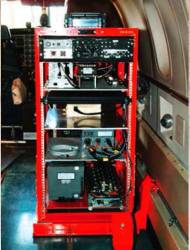
Typical Rack-Mounted UHARS System

A next-generation “truth” reference system for the U.S. Air Force (USAF) — the Ultra High Accuracy Reference System (UHARS) — is currently under development by the 746th Test Squadron (746 TS) at Holloman Air Force Base, New Mexico.

Read More >

By Inside GNSS
[uam_ad id="183541"]
April 27, 2012

DARPA Seeks New Inertial-Atomic Sensor to Enable Military Missions in GPS-Denied Areas

The Defense Advanced Research Projects Agency (DARPA) has launched a search for an atomic inertial sensor to measure orientation in GPS-denied environments.

The Chip-Scale Combinatorial Atomic Navigator (C-SCAN) initiative seeks to create a sensor that integrates small size, low power consumption, high resolution of motion detection, and a fast startup time into a single package.

Read More >

By Inside GNSS
April 21, 2012

Help DARPA Boldly Go Where No One Has Gone Before

DARPA example of a robot working in a dangerous area

We certainly hope the competitors in DARPA’s Robotics Challenge hardwire Isaac Asimov’s First Law of Robotics into their creations—the one that says don’t harm humans.

Because the U.S. Defense Advanced Research Projects Agency’s new contest aims to develop technology that advances robotics to the next level. The level at which robots can do what we do, go where we can’t, and change shape as necessary.

Read More >

By Inside GNSS
March 22, 2012

SBIRS Decision Could Undermine Prospects for GPS Dual-Launch

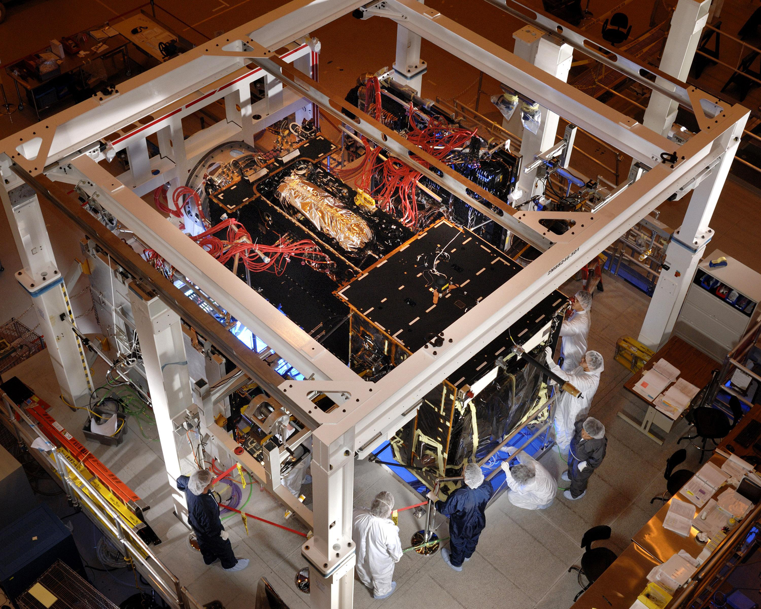
SBIRS GEO-2 satellite in Baseline Integrated System Test (BIST-1). Lockheed Martin photo.

The Air Force is poised to forego putting nuclear detonation detection sensors on the Space-Based Infrared System (SBIRS) satellites, a decision that could complicate efforts to maintain the GPS system by hampering plans to launch multiple, lighter GPS satellites on a single rocket.

Read More >

By Inside GNSS
[uam_ad id="183541"]
March 21, 2012

Register Now for the 2012 GPS Partnership Council at Los Angeles AFB in May

GPS Partnership Council golf competition (USAF photo by Joe Juarez)

Registration is open for the 2012 GPS Partnership Council meeting at the USAF Space and Missile Systems Center, Los Angeles AFB, on Tuesday, May 1 and Wednesday, May 2.  As always, participants can compete in a golf tournament on an optional third day of networking and camaraderie on Wednesday, May 3.

The registration deadline is April 27.

Read More >

By Inside GNSS
March 12, 2012

Air Force Space Command Head Supports GPS Spectrum Needs at House Subcommittee Hearing

U.S. Air Force Gen. William Shelton , commander of the Air Force Space Command (AFSPC), told a recent House Armed Services subcommittee hearing that the LightSquared controversy at the Federal Communications Commission (FCC) underlined the need to protect GPS spectrum “Whether it is by policy within the FCC or whether that is by legislation. . . “

Shelton’s comments came during March 8 testimony on the Fiscal Year 2013 National Defense Authorization Budget Request for National Security Space Activities before the Strategic Forces Subcommittee.

Read More >

By Inside GNSS
February 29, 2012

GPS Program Budget: A Lot, But Is It Enough?

The details of President Obama’s 2013 budget have been gradually filtering out and, in general, the GPS system and those programs closely linked to satellite navigation, have escaped deep cuts.

On the hardware side the White House has requested $58.2 for GPS IIF satellite procurement. According to Air Force budget documents, the plan is to then wrap up the total IIF procurement of 12 satellites with a request for $77.6 million in FY14 and $7.3 million in FY15.

Read More >

By Inside GNSS

2012 Joint Navigation Conference begins on Tuesday, June 12, one day later than planned

Air Force Capt. Bryony Veater in Kandahar, Afghanistan with a Defense Advanced GPS Receiver in November 2011. She trains U.S. and coalition forces in GPS, its limitations and alternatives on the battlefield.(USAF photo/David Carbajal)

The 2012 Joint Navigation Conference, previously scheduled to begin at the Crowne Plaza in Colorado Springs on Monday, June 11 will instead open on Tuesday, June 12 and run through Friday, June 15.

The change was made to accommodate the classified sessions that now will take place on Friday at the United States Air Force Academy.

Read More >

By Inside GNSS
IGM_e-news_subscribe