Integrated Navigation
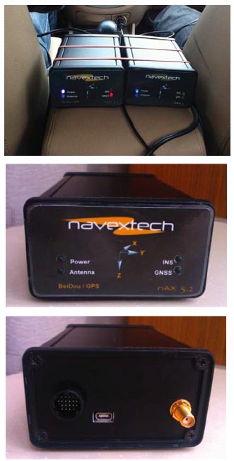
 GPS/BeiDou/MEMS configuration and GPS/MEMS configuration (left and right, respectively, top photo), Front view (center photo) and back view (lower photo) of nAX5.2
Due to the huge success of GPS in both military and civil applications, several other GNSSs have been developed, built, and operated in the last few decades. GNSS, regional, and augmentation systems are comprise a growing family that also includes GLONASS, Galileo, BeiDou, and Japan’s Quasi-Zenith Satellite System (QZSS). New members, such as the Global Indian Navigation System (GINS), are preparing to join in next decade.
By Inside GNSS


