Global Navigation Satellite Systems Engineering, Policy, and Design
Global Navigation Satellite Systems Engineering, Policy, and Design
TOP PHOTO: Antenna configurations on trials vehicle: Dual GPS antennas for the INS under test and single GPS antenna for the CIMU; BOTTOM PHOTO: Commercial IMU/DGPS system used for reference (left), FOG-based INS configuration (middle), and MEMS-based INS configuration 2 (right) The automobile versus the horse and buggy. Cloud computing opposite desktop software. The trend is predictable, yet it is always surprising when one technology takes over the market space of another. After all, television did kill off the radio star.
By Inside GNSS
Return to main article: "Demystifying GLONASS Inter-Frequency Carrier Phase Biases"
By Inside GNSS
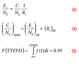
EQUATIONS 1 -11GLONASS currently uses a frequency division multiple access (FDMA) technique to distinguish the signals coming from different satellites in the Russian GNSS constellation. The GLONASS L1 and L2 bands are divided into 14 sub-bands, and each satellite transmits in one of these.
The sub-bands are identified by frequency numbers k, from -7 to 6. The GLONASS L1 and L2 carrier frequencies, in hertz, at a frequency number k are defined by:

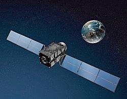 QZSS satellite looking at Japan from above (JAXA image)
Japan’s and India’s regional and augmentation satellite navigation programs look forward to an active year, according to speakers at March’s Satellite Navigation Summit in Germany.
By Inside GNSS Beidou control room
Compass/BeiDou-2, China’s GNSS program will launch 5 satellites this year to join the 11 already in orbit, according to Li Xing, a representative of the China Satellite Navigation Office. This will support a planned declaration of initial operational capability (IOC) for a regional system covering 84˚E to 160˚E and 55˚S to 55˚N, he said at the Munich Satellite Navigation Summit in March.
The rapid development of the Chinese system was refelcted in the allocation of its own session during this year’s Summit, the most important GNSS policy gathering in Europe.
By Inside GNSS
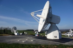 Galileo IOT L-Band antenna at Redu Center in Belgium (ESA photo)
The European GNSS program expects to gain an additional €7 billion (US$9.1 billion) budget for 2014–2020 to support Galileo and the European Geostationary Navigation Overlay Service (EGNOS), a satellite-based augmentation system that currently provides differential corrections to GPS signals, according to Paul Flament, Galileo and EGNOS program manager for the European Commission. He spoke at the 2012 Munich Satellite Navigation Summit that ended on March 15.
By Inside GNSS Sergey Revnivykh, GLONASS program, Roscosmos
GLONASS completed its long trek back to full operational capability with 24 operational satellites in the constellation last December, but Russia intends to keep pushing ahead with its GNSS, said Roscosmos official Sergey Revnivykh at the Munich Satellite Navigation Summit in March.
GLONASS now has a 347 billion ruble (US$11.81 billion) budget approved through 2020, by which time the system is scheduled to have 24 satellites transmitting both the new CDMA and legacy FDMA signals.
By Inside GNSS New GPS III Test Chamber (Lockheed Martin photo)
The United States GPS program is without doubt the elder statesman of GNSS, but it has had some close calls recently.
At the 2012 Munich Satellite Navigation Summit in March, a high-level Department of Transportation offical and the head of the Air Force GPS Directorate hailed continuing progress on the Global Positioning System’s third-generation satellite development and next-generation control segment (OCX), while apparently escaping — relatively unscathed — the dual perils of Congressional budget cuts and LightSquared interference.
By Inside GNSS
Working Papers explore the
technical and scientific themes that underpin GNSS programs and
applications. This regular column is coordinated by Prof. Dr.-Ing. Günter Hein, head of Europe’s Galileo Operations and Evolution.
The navigation message has always been considered an inherent and essential feature of a global satellite navigation system. Its primary objective is to provide receivers with information on the errors of satellite clocks and parameters to compute the positions of satellites, as well as other parameters that help generate more accurate measurements.
By Inside GNSS